
cazalea
[Seiko Moderator]
19588

Drive in the Country, Part 1
Every year for the last 20 I have taken a drive (one or more) around our County, which is one of the largest in the United States at about 4200 square miles. Usually that's in the Lotus, but today we decided to head out of the house at 6 am when low temperatures (and wife) DEMANDED a heater and hard top. So we took the pickup instead. If you would like to join us, please feel free to check out the scenery.
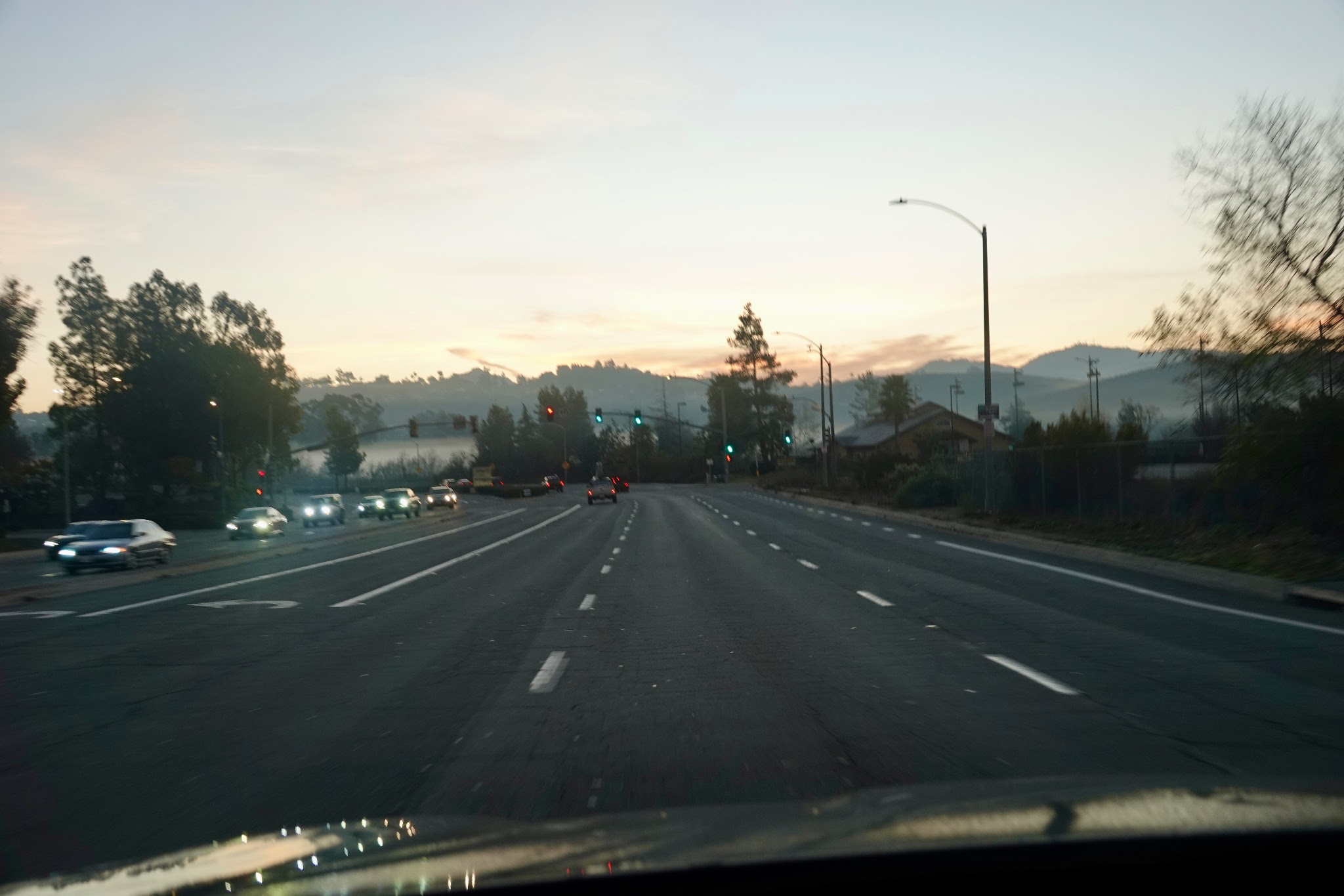
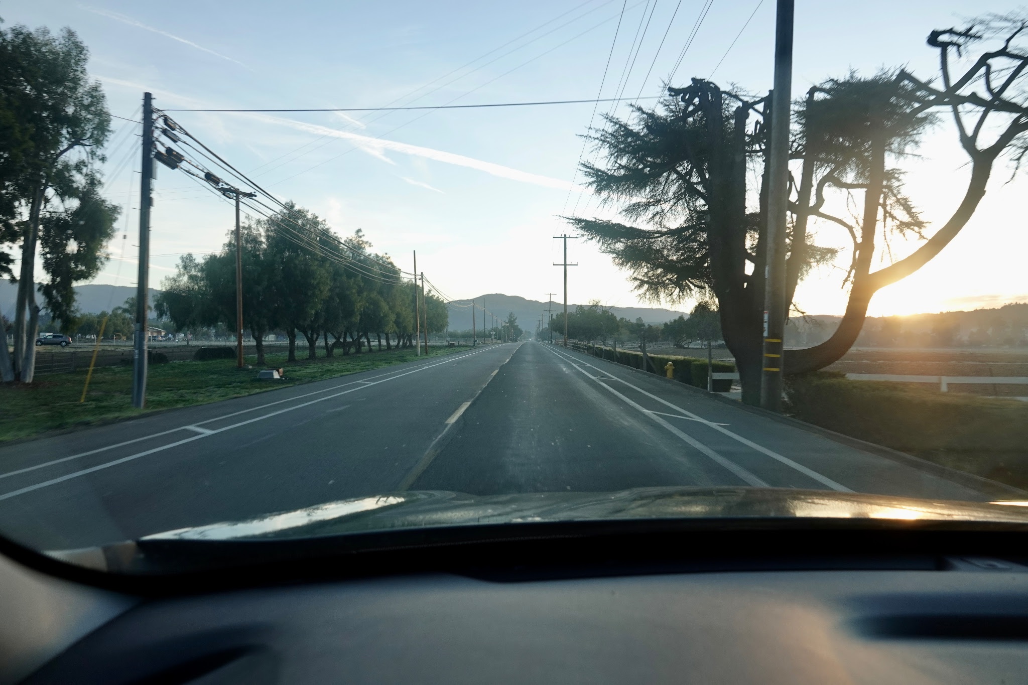
We started on the highway headed north,

which turned to a surface street, but quite wide at this point.
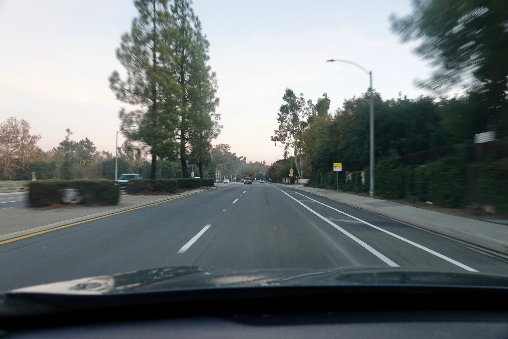
Now down to 2 lanes each way as we continue north and east.
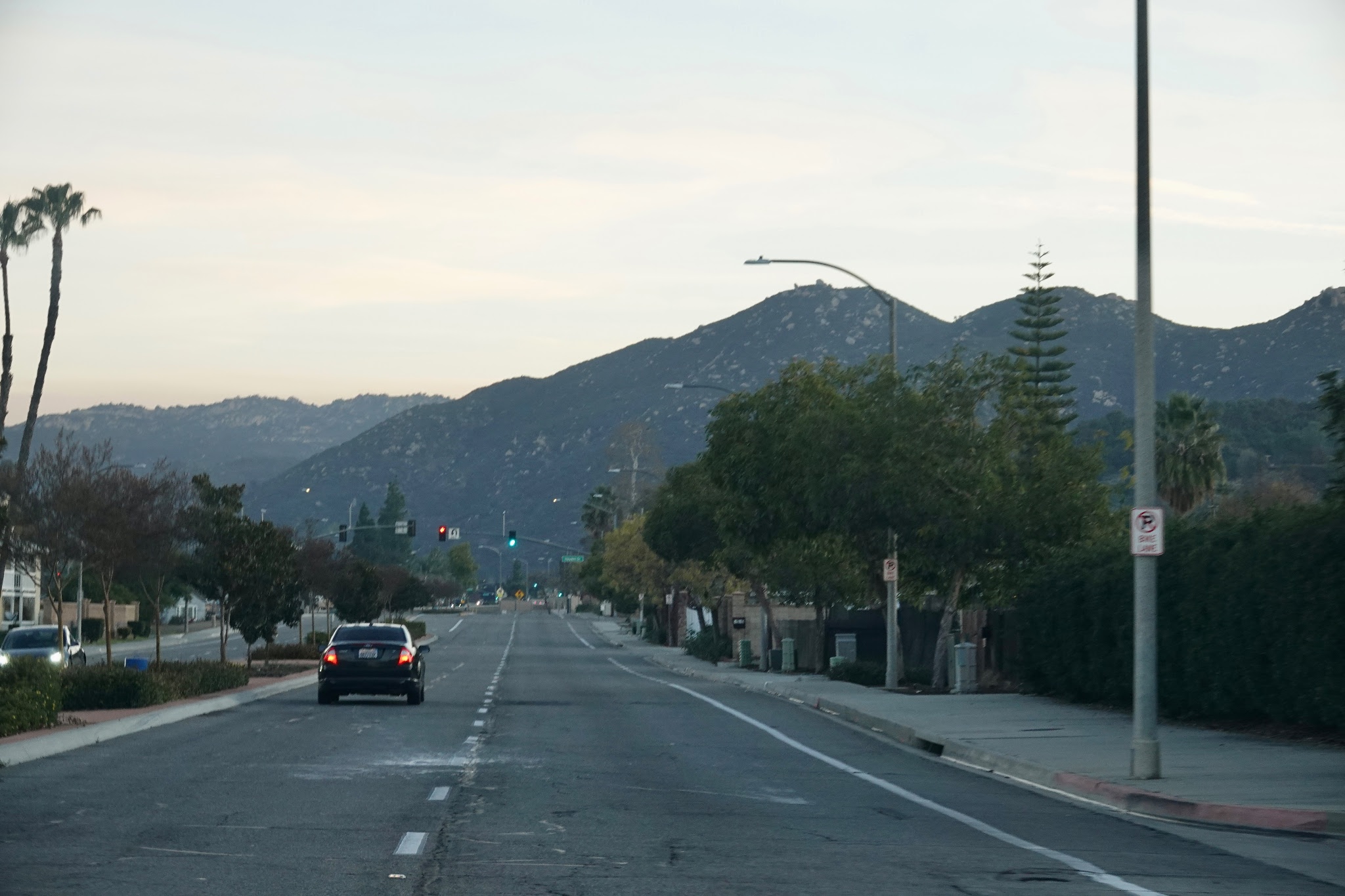
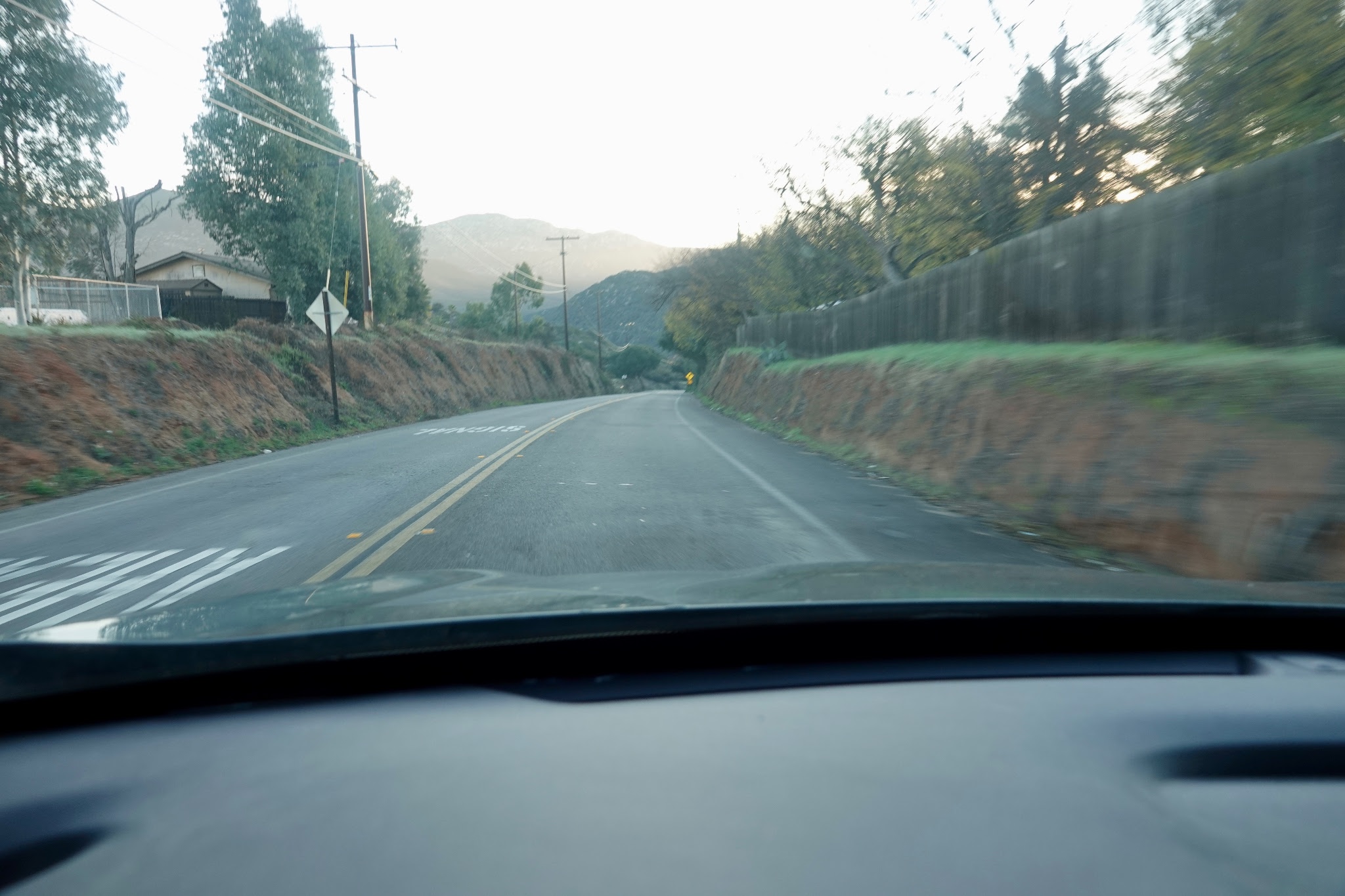
We are now entering the foothills.
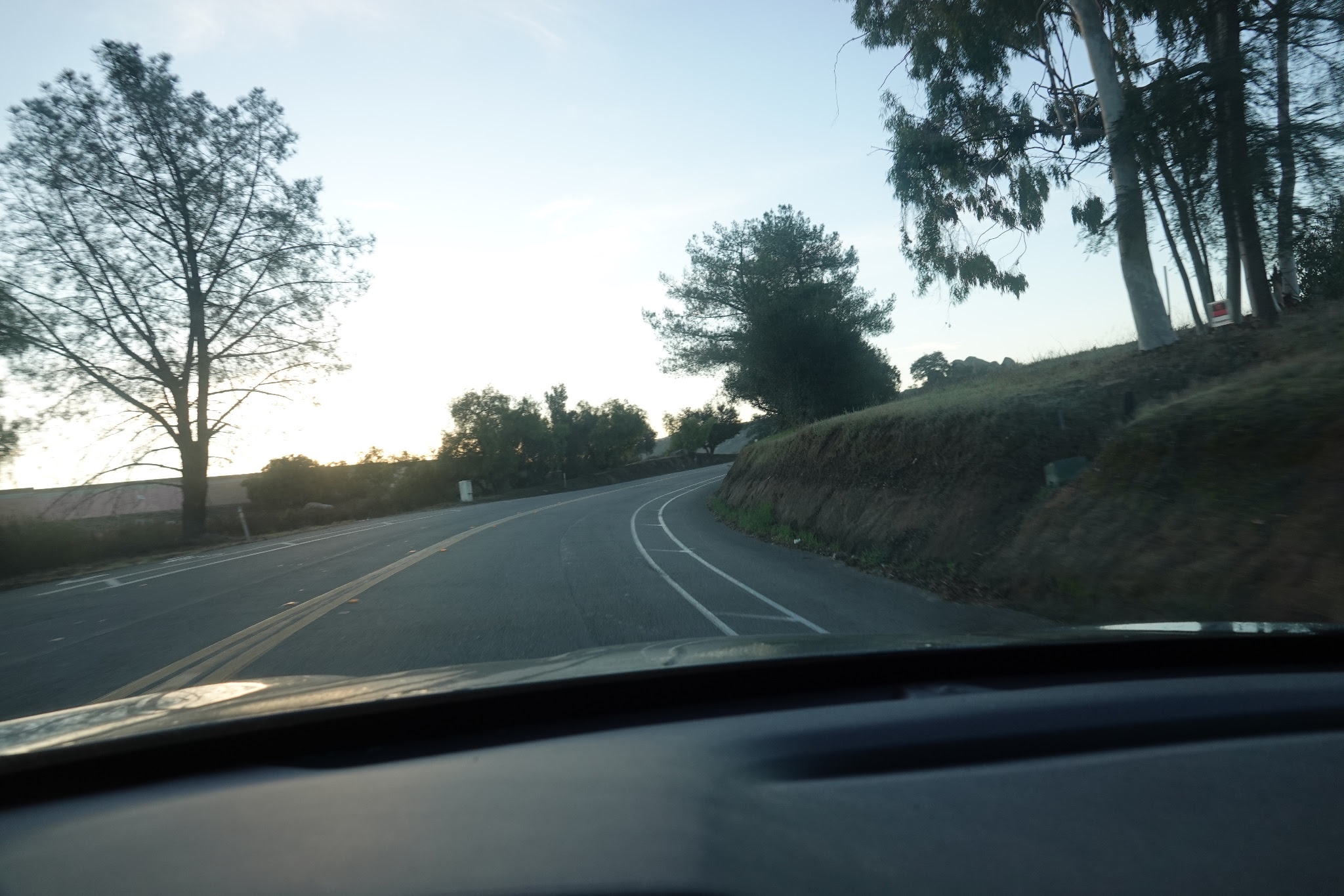
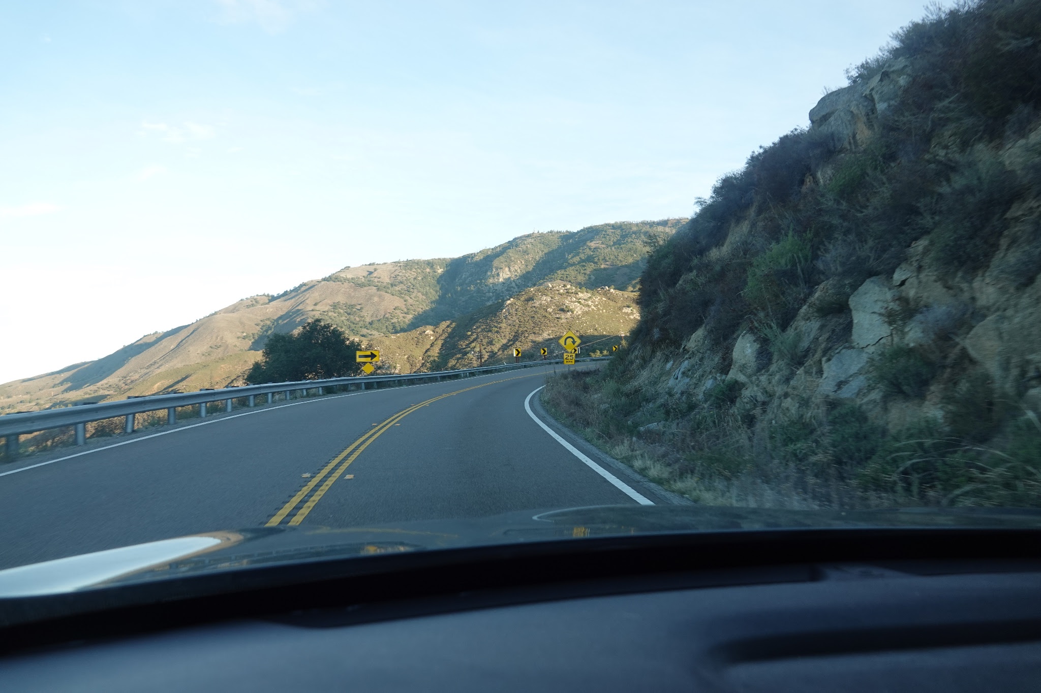
Down to one lane, the road is curvy, and the sun is rising enough to blind us on corners.
Through some farm country here, flat and easy to manage.
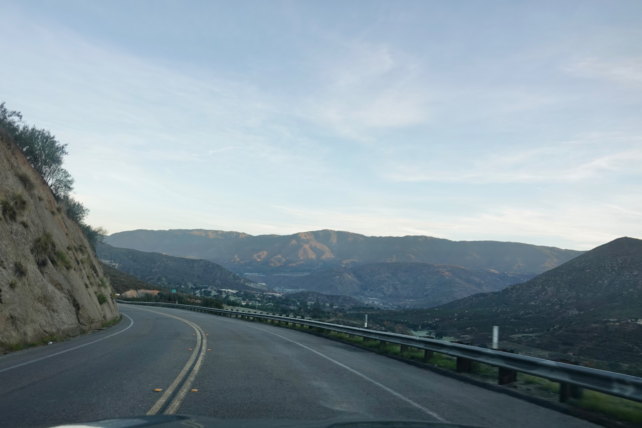
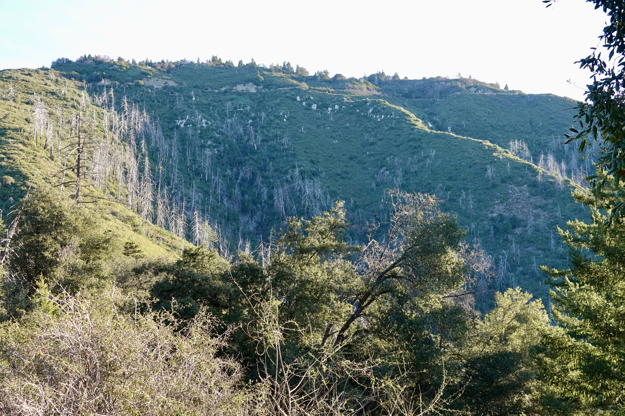
The terrain is more irregular here as we head up and down but always gradually climbing in the north easterly direction.
We are headed for that distant ridge line, in our Ridgeline.
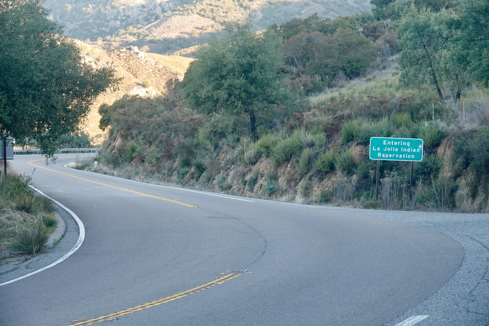
They call this Funner. They being the casino operator, Harrah's. Here being the Rincon Tribal Reservation.
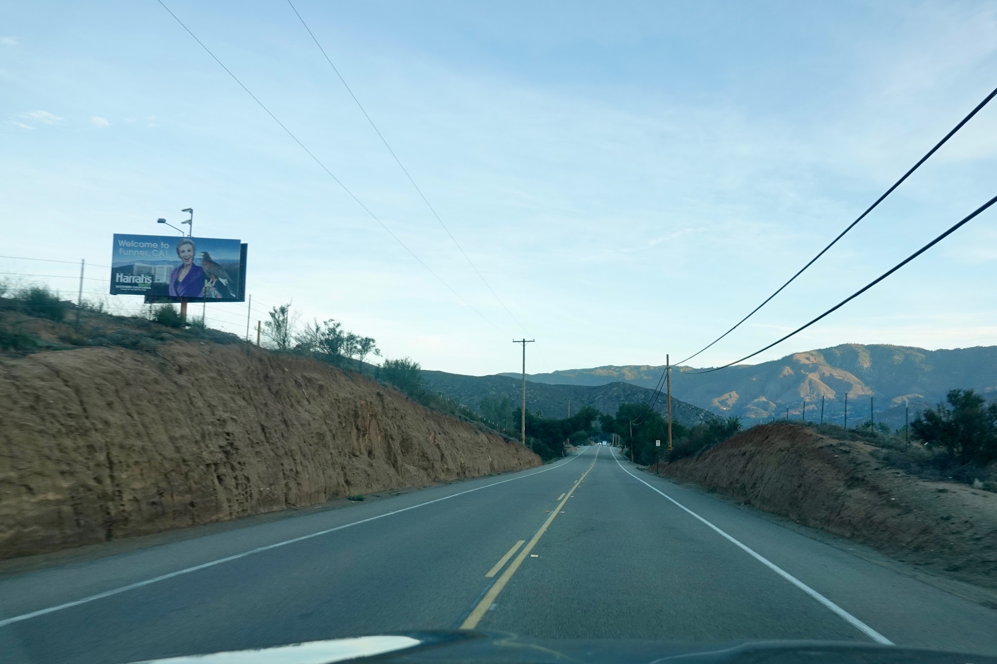
There's the casino itself. We stopped for gas here because it was almost a dollar cheaper than at home.
(It's complicated but on the Indian reservations the tribes control some of the taxation. San Diego has 19 reservations, more than any other county in the USA)

"We changed our reservations" for the third time, having gone through Rincon and Pala already.
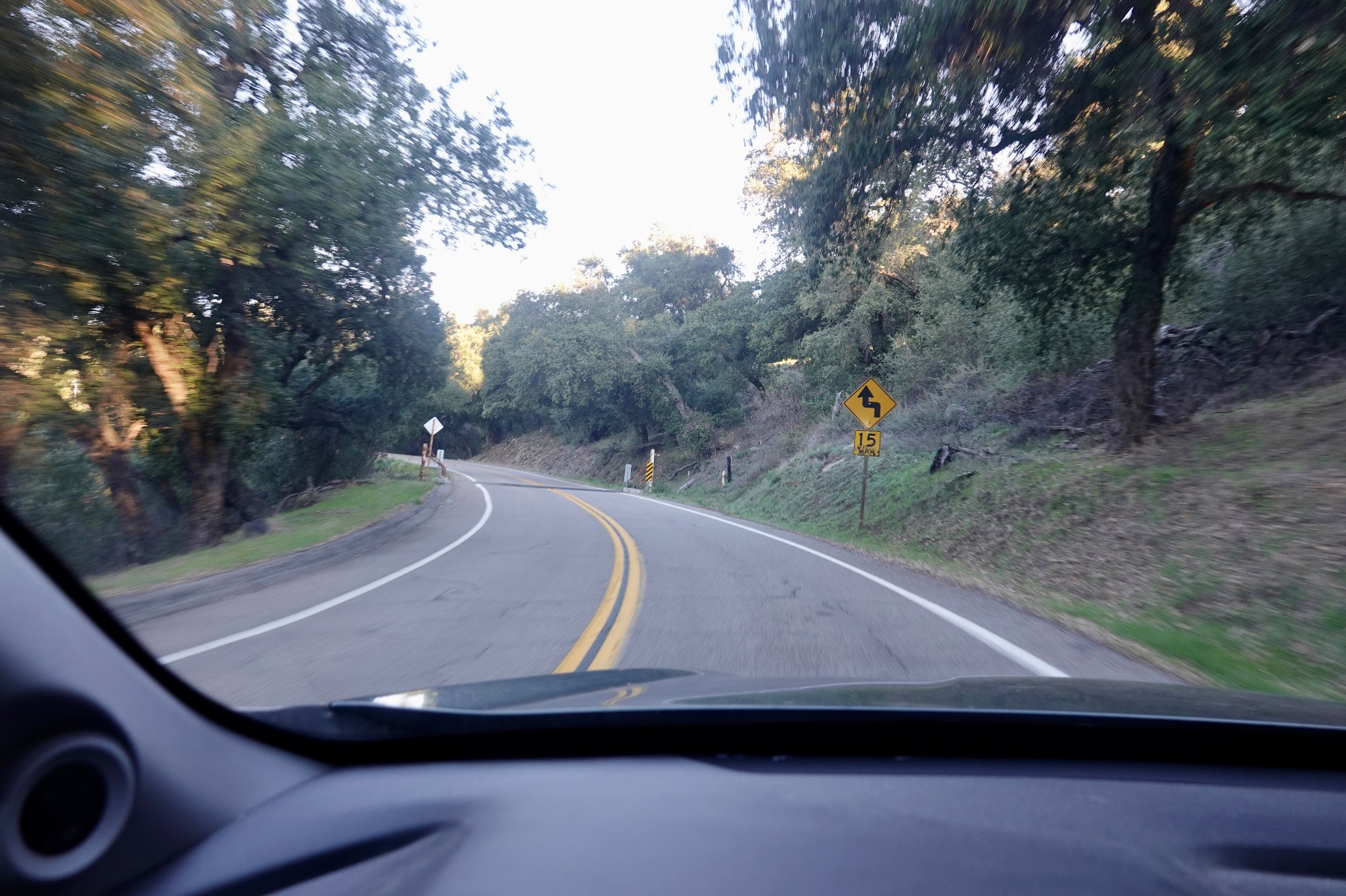
They do mean 15 MPH. This road is tricky.
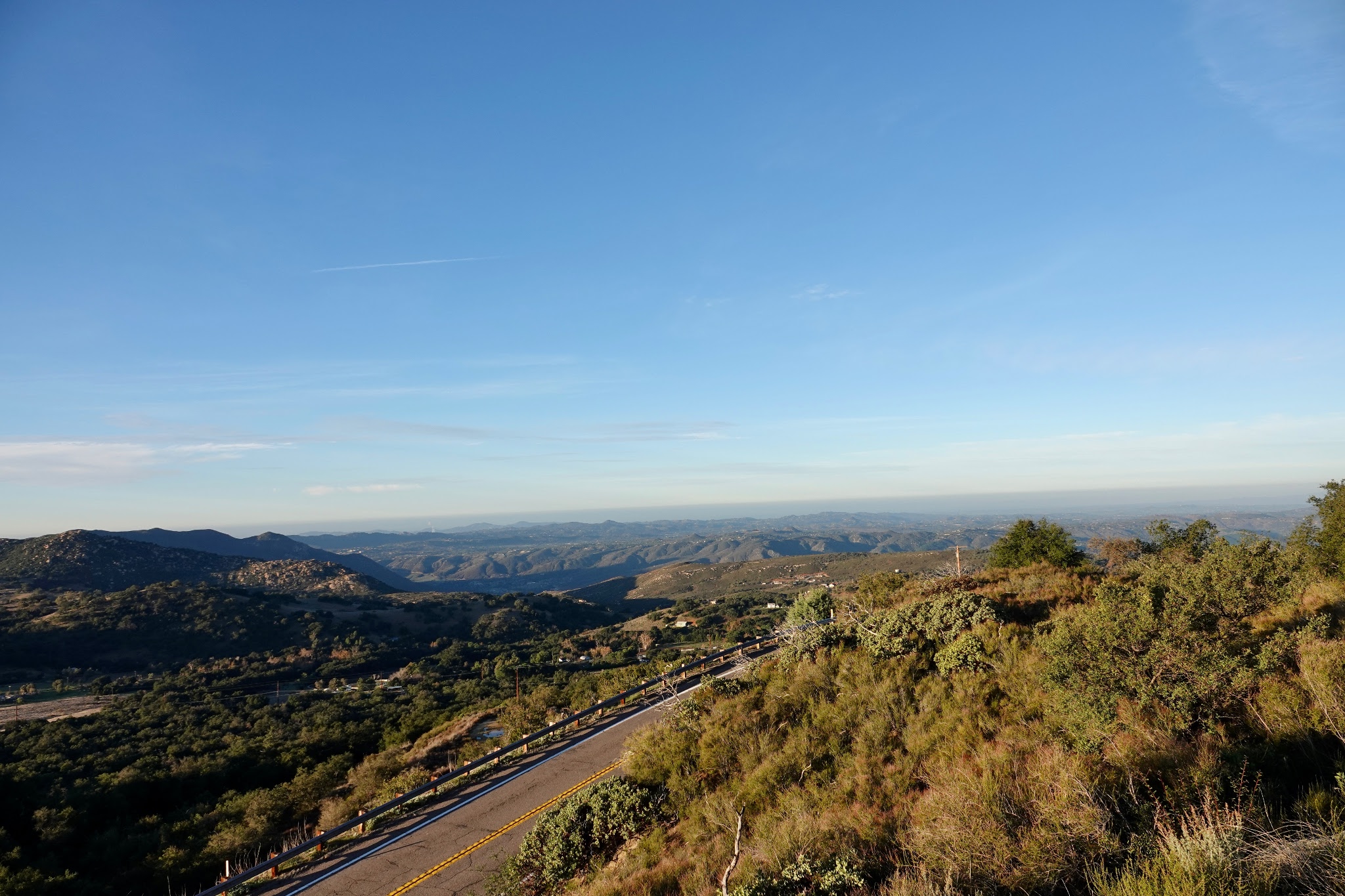
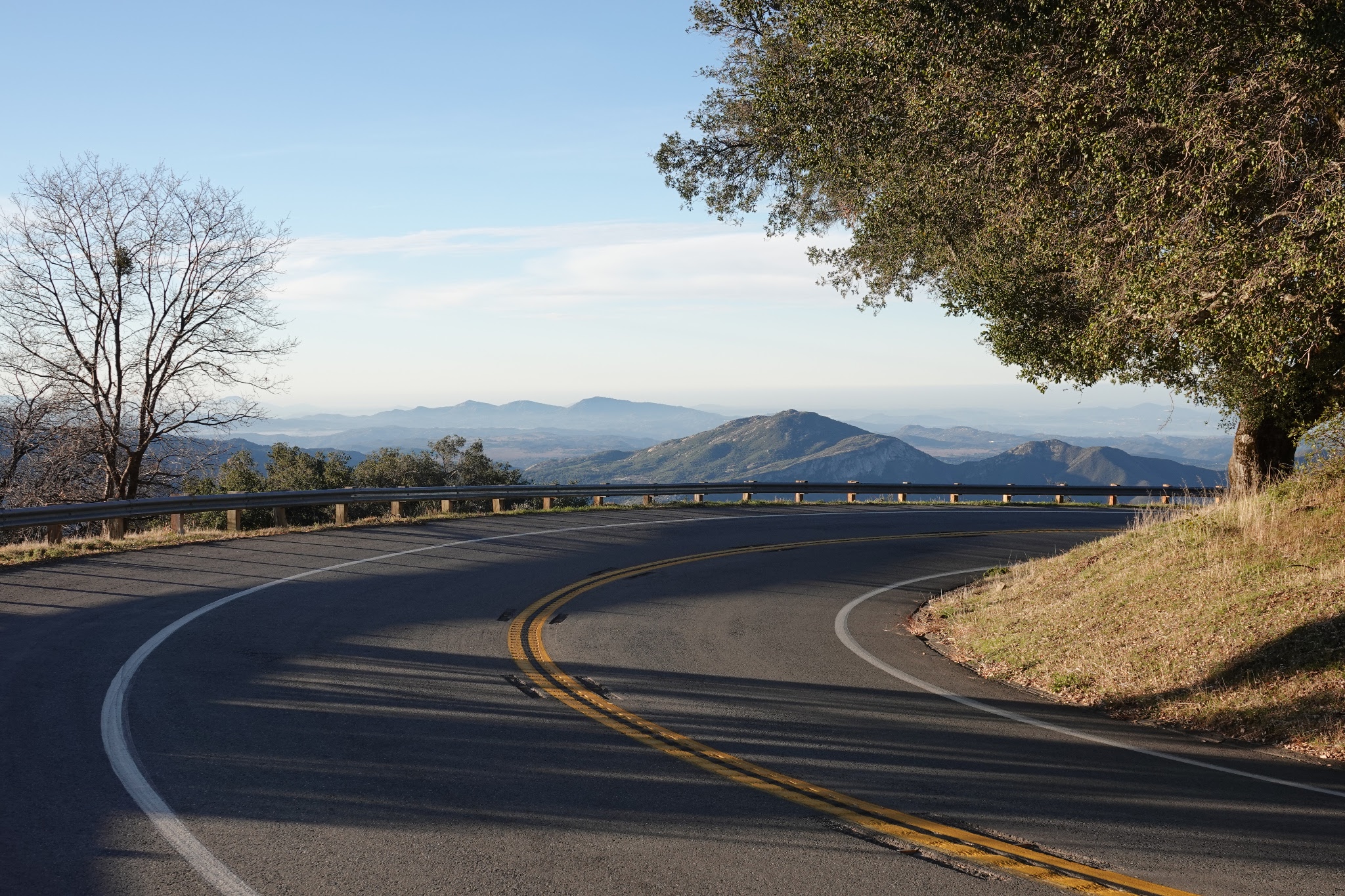
We look back over our shoulders towards the coast, shrouded in the marine layer off the Pacific Ocean.
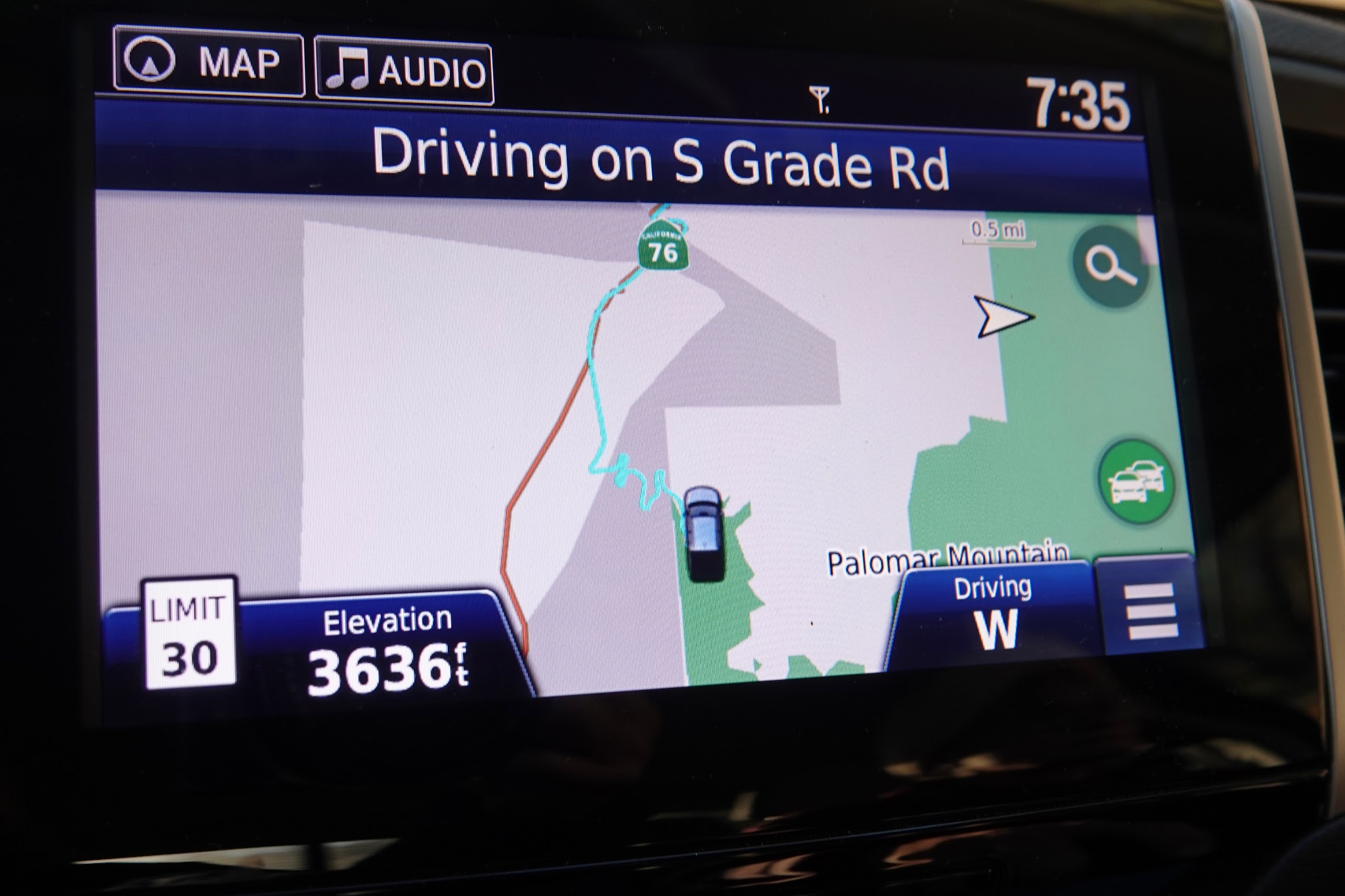
Notice the curvy plot on my navigation system and the time. We've been on the road about 90 minutes.
We are still climbing.
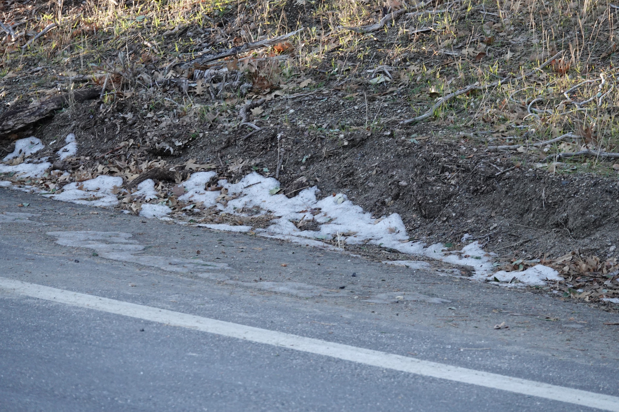
Temperature is in the low 40's at this point.
We start to see snow here and there.
We are a mile high and have reached the summit circular road atop Palomar Mountain. The observatory is closed, according to their website, due to snow and ice. Fine. This is high enough for me. I've been here many times. Once driving up here in the old Elan I got the brakes hot enough they were glowing red (said the guy behind me).


PS - Unlike my ears, my GST split second chrono worked flawlessly at all altitudes.
The road is now much narrower, steeper, and windier. Perfect for the Lotus on a nice day. It's not Lotus weather this morning, as you will see later.
"We changed our reservations" for the third time, having gone through Rincon and Pala already.
They do mean 15 MPH. This road is tricky.
We look back over our shoulders towards the coast, shrouded in the marine layer off the Pacific Ocean.
Notice the curvy plot on my navigation system and the time. We've been on the road about 90 minutes.
We are still climbing.
One reason for this trip is to confirm that I can manage altitude changes, because the last time I flew my ears plugged for a few months and it took a surgeon with scalpel to "ventilate" my eardrum and release the pressure. Today we learn that an elevation change of no more than 200 feet up or down causes my ears to "pop".
Temperature is in the low 40's at this point.
We start to see snow here and there.
We are a mile high and have reached the summit circular road atop Palomar Mountain. The observatory is closed, according to their website, due to snow and ice. Fine. This is high enough for me. I've been here many times. Once driving up here in the old Elan I got the brakes hot enough they were glowing red (said the guy behind me).
Please continue to part 2 if you are interested, where we start to see all sorts of interesting creatures along the way back down.
Cazalea
PS - Unlike my ears, my GST split second chrono worked flawlessly at all altitudes.
Drive in the Country, Part 1
Every year for the last 20 I have taken a drive (one or more) around our County, which is one of the largest in the United States at about 4200 square miles. Usually that's in the Lotus, but today we decided to head out of the house at 6 am when low tempe...
Thanks for coming along - it's different every time! Here are links other trips
First visit to Mt Palomar Second visit (snowy!) photos

That was a long-ish drive…
did your ears really stay plugged up for weeks after a flight?! That’s so uncomfortable. But i’m not clear on what you learned about your ear pressure from this drive, which I am curious to understand.🤔
It was just an experiment
Commercial airline flights maintain internal air pressure about equal to 6000-8000 foot elevation. If your Eustachian tubes don't ventilate well, like mine, altitude/pressure changes can be annoying and painful (think of small children who cry on the plan...
That must have been quite the credit card charge😳
Your pressure experiment makes sense now given a history with your eustachian tube. It can indeed be horribly uncomfortable with such a differential between the middle ear and outside.😣
Drive in the Country, Part 2
We stopped and stretched our legs near the top of the mountain, then noticed a house way above us. Wow. This is a mile high and temperature is down around 30 or lower, and we take a pass on the restroom (outhouse) here. In the distance looking eastward we...
Drive in the Country, Part 3 Finale
We left off part 2 after seeking a refreshment stop after llama land. At this point we turned West and headed down out of the mountains. This is near Dudley's, a famous bakery in this area - favored by hungry and thirsty travelers, motorcyclists, etc. And...
You’re welcome; here are your bonus pics!
Thanks for reading. Mike PS - my wife gets camel affection on an earlier trip ...

The Camel Dairy
It's near Ramona, going up towards Julian. Back some years ago you could even ride a camel; I don't know if they still offer that. The camel I'm on here was in Palm Springs. ...


That....
Right there is why we live in the prettiest state in the nation, and why I'll feel bittersweet in case I decide to leave it for socioeconomic reasons.... Great images, as always Mike, cheers, Filip
I’m glad it was illuminating
I hope the medical stuff wasn’t too distracting. It was the justification (or rationalizing) for making the trip today, but being out there is its own reward. Mike
Definitely not distracting since it gave me a sense of the elevations there.👍🏽
As an aside, I’ve never seen a farm or whatever you drove past there that had a camel! I’d expect them in dry, arid environments…not SD🤯🤣
The camel 🐪 wrangler served in North Africa
And became fond of his camels and brought a few to the states. They sell the milk which is very rich and has some health benefits in improving people deal with autism. ...
Wow, now that’s a heck of a story!
I’m glad I asked, otherwise I’d think that camels are normally found in parts of the U.S. But that is a cool sight that you share in the pics above.


I have enjoyed the drive:
It feels somehow better to address eye-popping pictures than ear-popping heights.
Really enjoyed
reading your road trips and looking at the pics. thanks for sharing. All the best D