
DonCorson
[AHCI]
3358

Pass driving in the Alps - Elise in her natural element
Pass driving in the Alps - Elise in her natural element
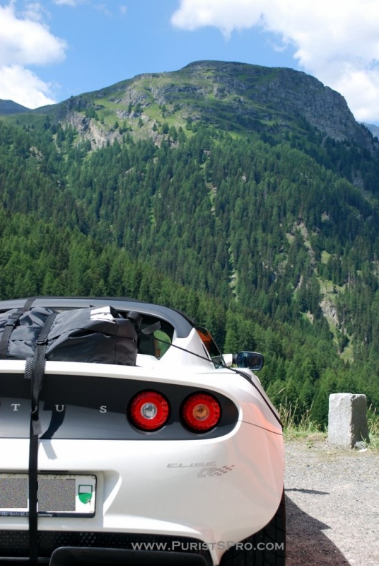
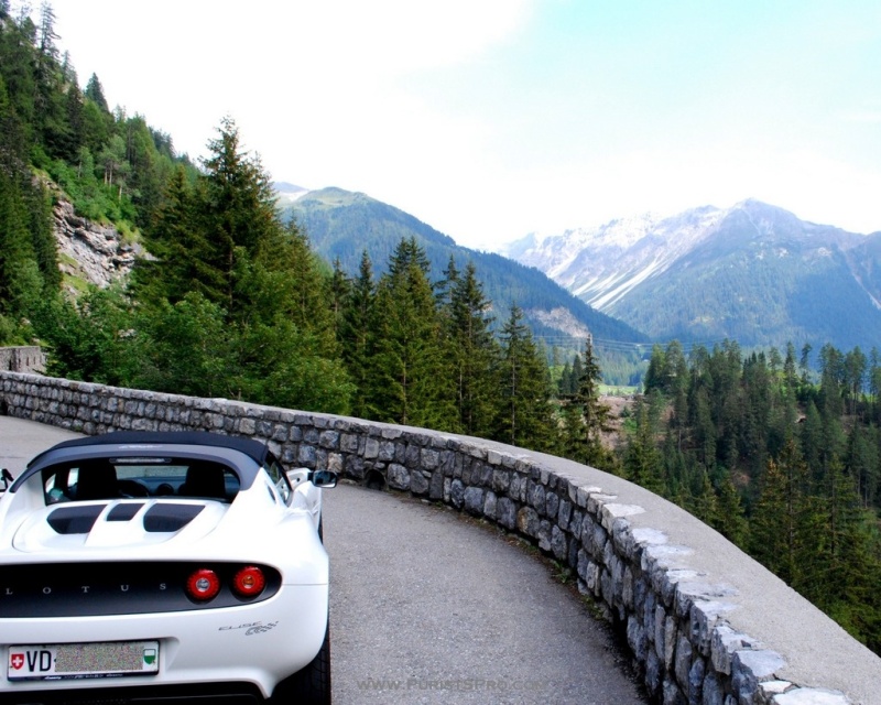
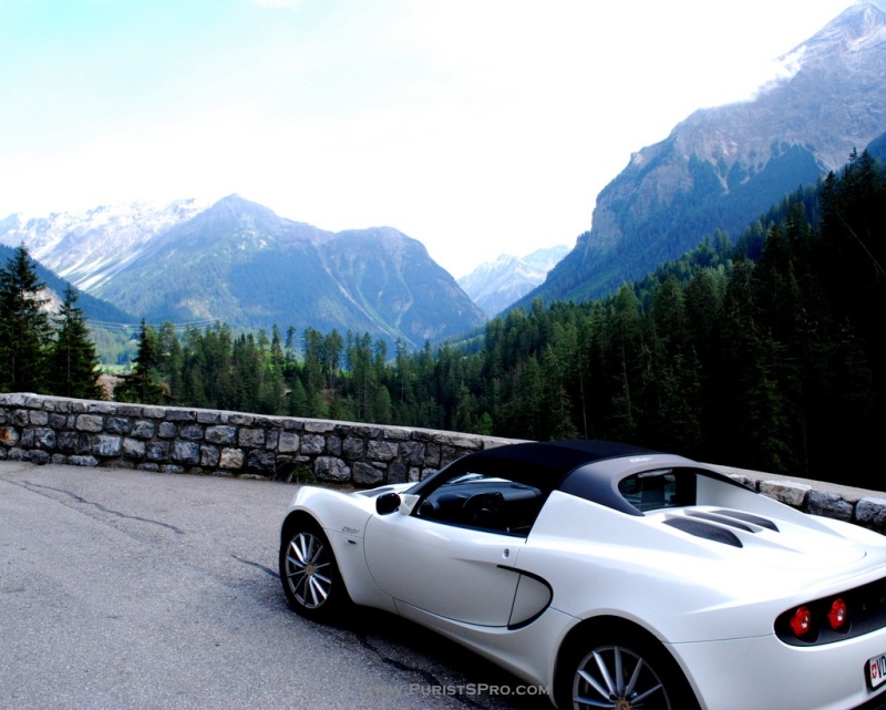
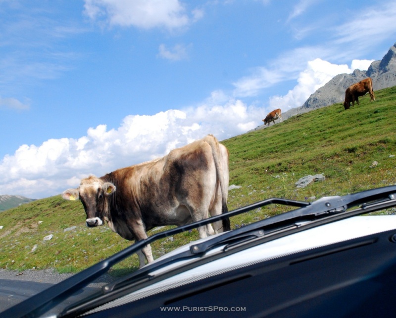
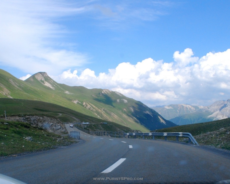
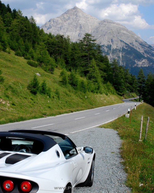
Although coming from the flatlands of East Anglia, Elise has the footing of a mountain goat. So off we went to let her run a little. From the Swiss middle valley up to Oberengadin using the Julier Pass to cross the Alps.

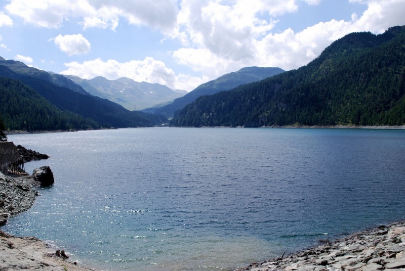
On the western ascent we pass the Marmorasee, a man-made lake built in 1952 next to a marble quarry.
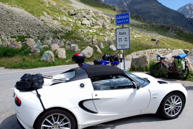
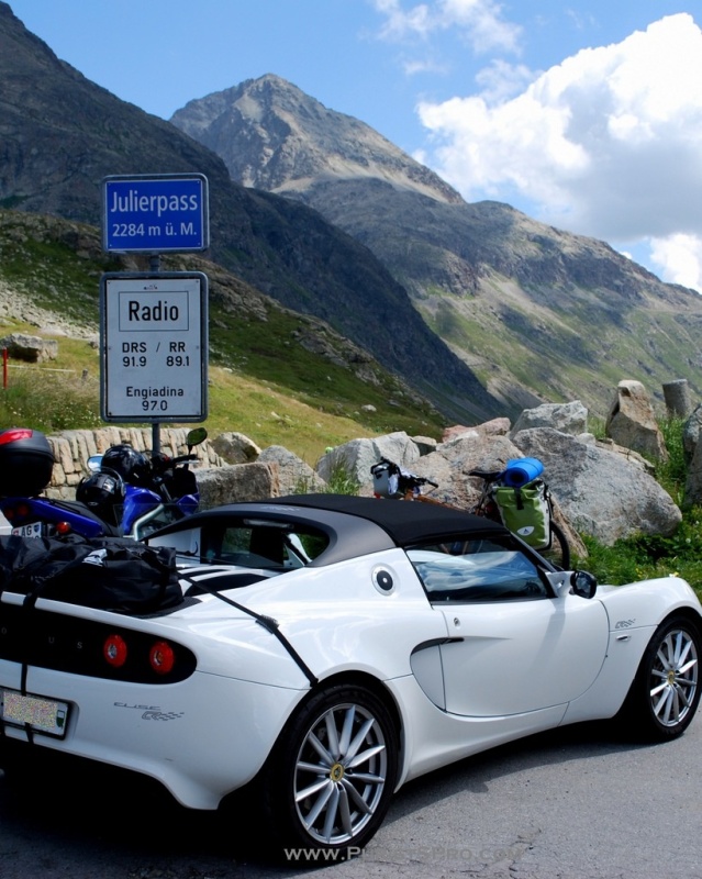
The Julier Pass road has its summit at 2284 meters above sea level. The present 43km road was built in 1820 to 1826 from Tiefencastel (851m) in Oberhalbstein to Silvaplana (1815m) in Oberengadin. The Julier Pass was already well known in Roman times and remains of a Roman shrine were found and are displayed at the pass.
The pass has long relatively flat portions separated by short steep portions and was a preferred route because it was a relatively safe pass. The maximum inclination is 11.8%. The Julier Pass is presently the only pass open all year round that doesn't have a tunnel near the summit for winter use.
After a day or two in our vacation residence in Oberengadin Elise was getting itchy so I decided to take her out to let her run some. We started by finding our way to the Flüela Pass. This 26km long pass road connects the towns of Susch in Unterengadin and Davos in the Prättigau.
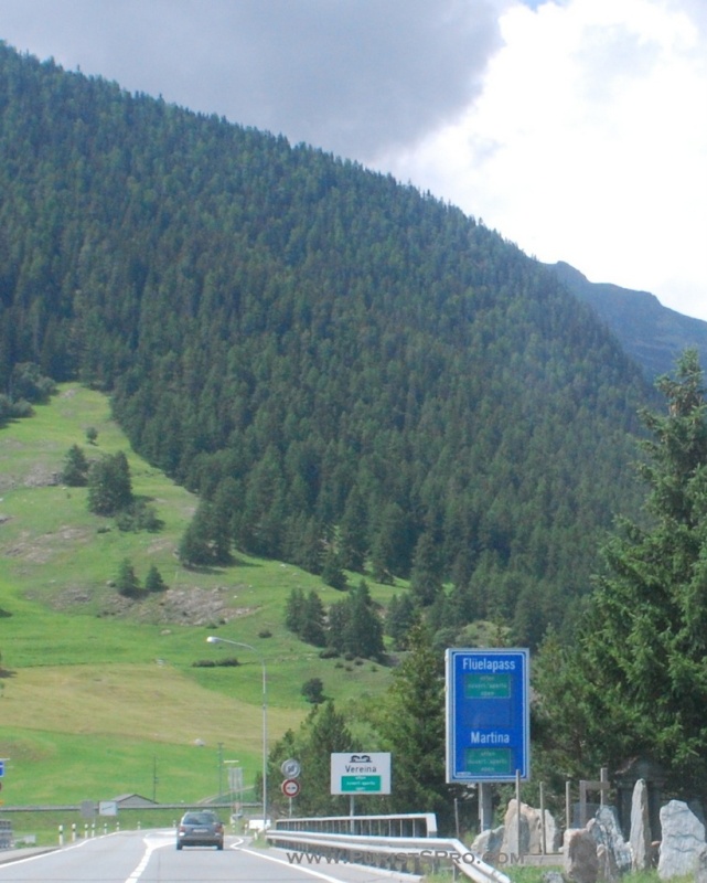
Now that's a sign we like!
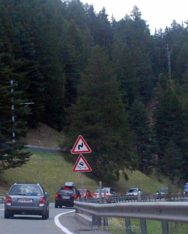
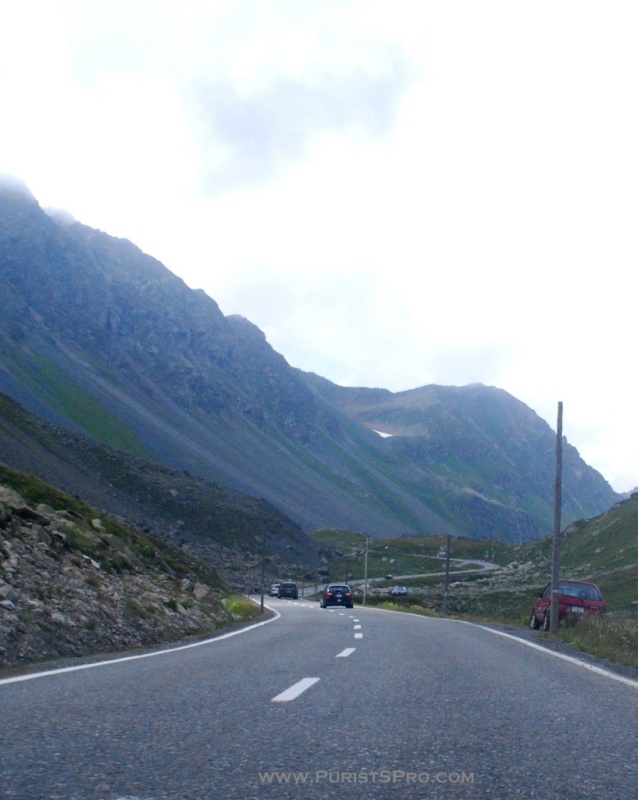
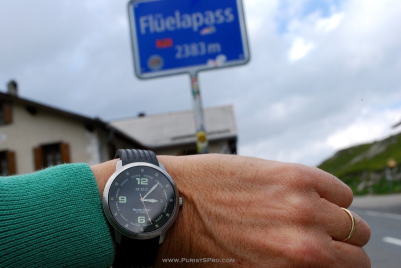
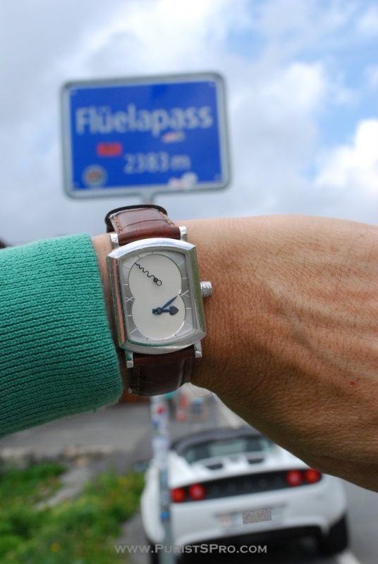
The Flüela Pass with its summit at 2383m and like most of the other pass routes has been in use at least since Roman times. The present road was built in 1866-1867. Because of its high probability of avalanches the pass is closed from November to May.


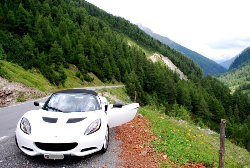


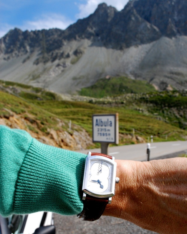
Just to add some horological interest too.
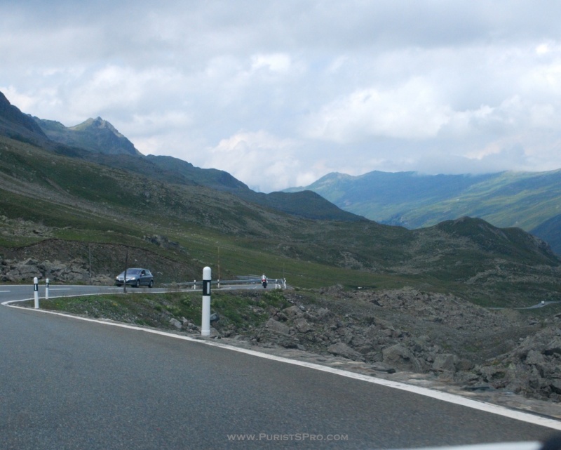
The descent toward Davos
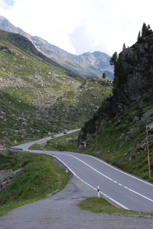
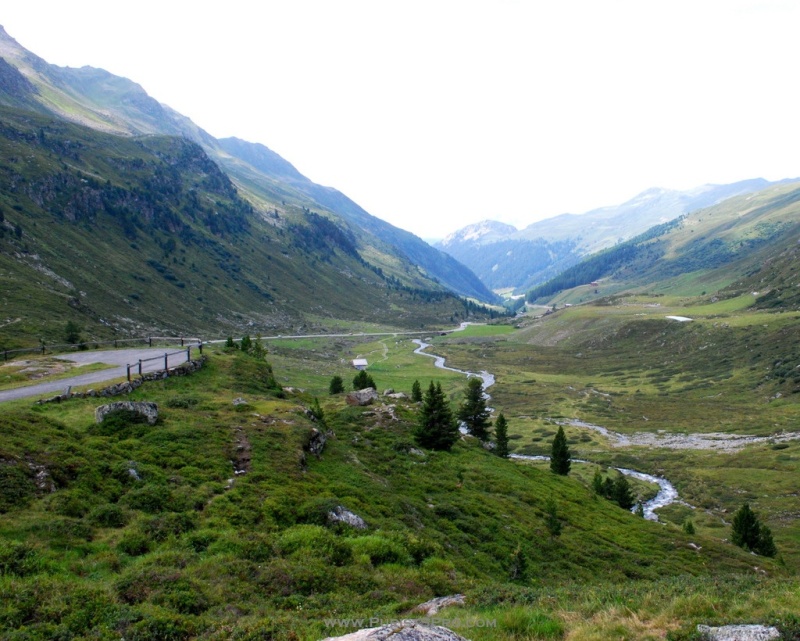
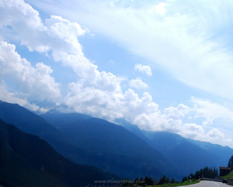
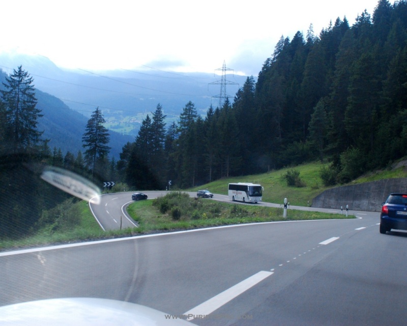
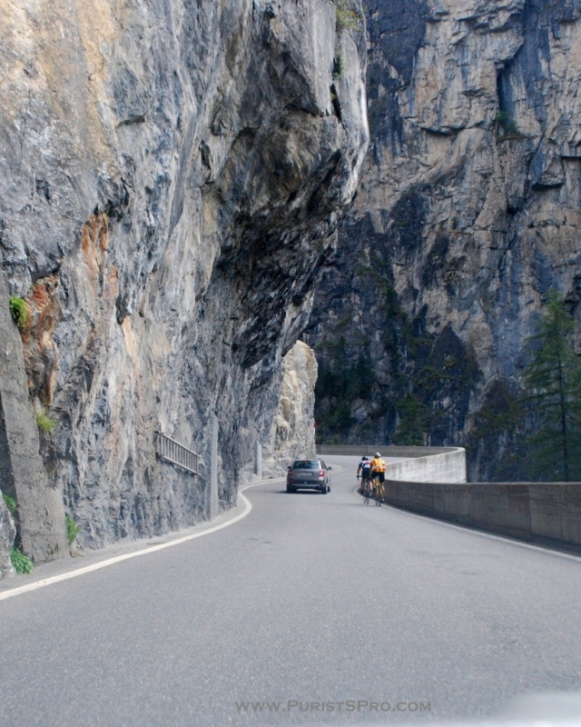
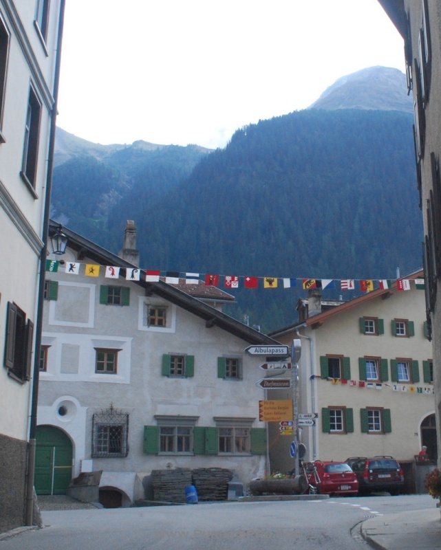
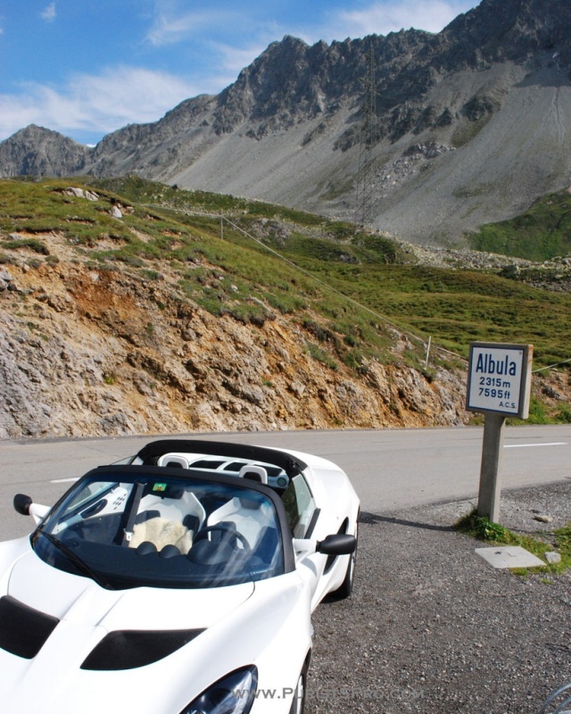
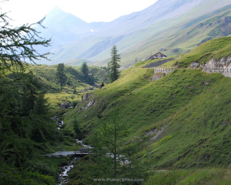
To return from Davos we chose the Albula Pass. The Albula pass connects Bergün in Albulatal to La Punt in Unterengadin, a 23km route with the summit at 2312m. It is certainly the most scenic of the three passes we took on this trip with spectacular galleries blasted in the walls of cliffs, winding curves and a narrow bed.
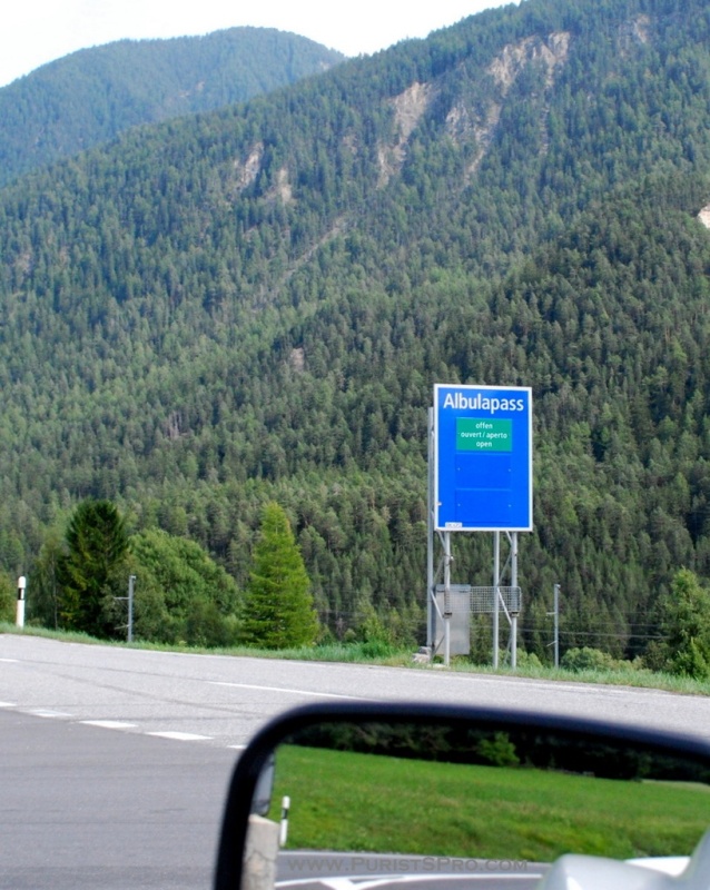

The citizens of Bergün financed the blasting work which made the Albula a practical Alp transversal in 1695. The present route was built in 1855-1865 with a maximum inclination of 12%.

Another one of those wonderful signs!
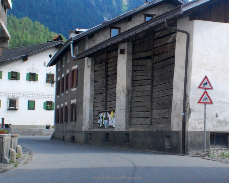
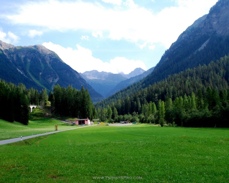
The road is crossed many times by the Albula Railway with its spectacular bridges and tunnels. With the opening of the train line in 1904 the economic importance of the road fell immediately. Since that time the road is no longer kept open in the winter and today the portion between Preda and Bergün is turned into a 6km long sledding route between two train stations with 400m elevation difference.
In 2008 the Albula Railway was included in the list of UNESCO World Hertage Sites as the Rhaetian Railway.

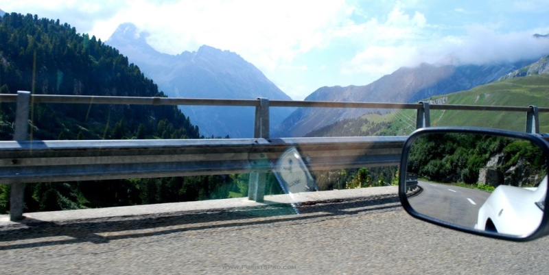
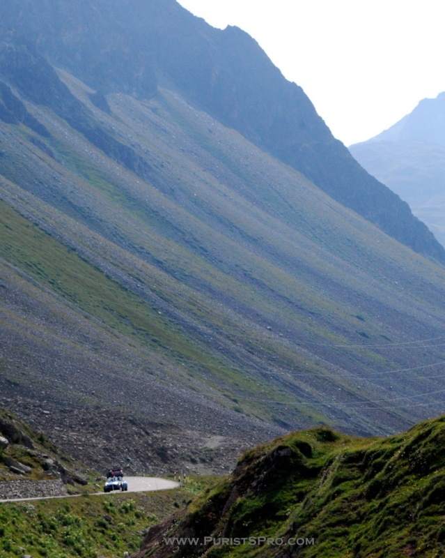
The Albula Pass sign is incorrect. It was erected before the correction of the altitude values in Switzerland in 1902 which reduced all the altitudes in Switzerland by 3.26 meters.
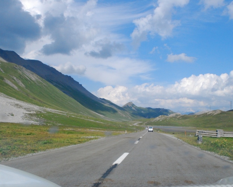
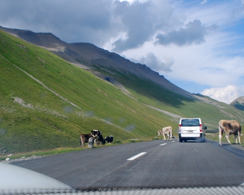
Traffic on the Albula pass road.
Back in the Oberengadin, kite surfing on Lake Sylvaplana.
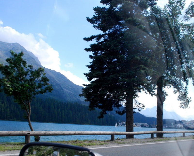
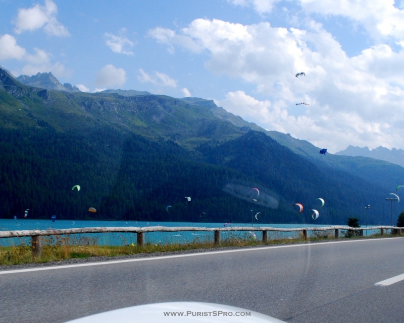
Driving these passes has been great fun. Sometimes there has been more traffic that I would have liked, I guess one should avoid the busiest vacation weeks of the year for these routes.
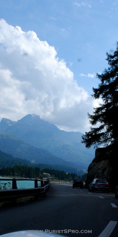
Switzerland has over 100 pass routes that can be driven and I will be seeing how many I can take in the next months/years. But to catch all of them I think I will need help. And there are other great pass routes around the world.
Let's see your pictures. Proof of passage, a picture of your car with the pass sign at the summit.
Have fun and drive safely!
Don

1) Julier Pass 2284m 1. August 2012
2) Flüela Pass 2383m 3. August 2012
3) Albula Pass 2312m 3. August 2012
Pass driving in the Alps - Elise in her natural element
Pass driving in the Alps - Elise in her natural element Although coming from the flatlands of East Anglia, Elise has the footing of a mountain goat. So off we went to let her run a little. From the Swiss middle valley up to Oberengadin using the Julier Pa...

Fantastic Report and Scenery :-)
I really like the color scheme of your Elise, Very Very Cool :-) S

Looks like a fantastic, if not uncomfortable, road trip
Thanks for the amazing photos which have got me thinking about skiing again.

One of my dreams ...
to get a really sporty car and then to take the road from Davos up to the Stilfser Joch and back and for and back ... Maybe I should show your great post to my wife. Maybe it could be helpful ... :-) Thanks, for sharing! Oliver


Great car for a trip like that.
Enjoyed your photographs too. You\'ve captured the mountain driving quite well. We tried to film some of the twisties but none of them worked terribly well. The funniest was two up on a scooter in Capri she captured the drive perfectly by filming a closeu...

Great pics and roads, Don, looking forward to more. My personal favorite...
so far (I have yet to try St. Gottard, St. Bernard, and Stelvio) is Grimsel and Furka pass The roads around Vevey are great too, if not exactly pass roads... Carl, we had a time machine moment when we were climing up the Furkas Pass in the 599 and coming ...

Superb, Don.
Davos... Wasn' t that the place of Thomas Mann's " Magic Mountain "? I am very attracted by these road trips, lately. With a Vintage car, or something exotic like this Elise. Fantastic moment shared with us. Thank you so much! Best, Nicolas.

Whaoo Don!.......
Looks just like Western Australia, outside Perth:) Are you Vaudois Don? A+ Francois
Yes Don it is indeed....
Hence my asking, your name doesn't read "Vaudois":) by the way I really enjoyed your making of "A" screw post. Now..are you " un Vaudois?" If you are where are you from? I grew up in Saint Cergue above Nyon! Cheers Francois
Non, mais La Givrine je connais tres bien.....
There is a restaurant " La Givrine" and the owner is like my brother! A+, Francois
such great memories brought back! thank You Don
while a student in La Tour de Peilz , all week ends were source of driving fun in the mountains, it did cost me some friendships with la police Vaudoise but hey no risk no fun! Thank you very much for your great report and fantastic photos. Best regards L...

Grimselpass, July 2012
This July, I spent a few days in Switzerland, primarily to visit the Ulysse Nardin manufacture. Before, I met a friend near Brienz, not very far from Lucerne: http://un1.watchprosite.com/img/watchprosite/un1/48/scaled/un1_image.2918948.jpg The weather cou...
All those wonderful switchbacks and the poor train had to go straight ...
All those wonderful switchbacks and the poor train had to go straight through the tunnel. Great pictures Marcus! The list of passes here is just too long, I don't know where to go next. Don

Mouthwatering my friend.
It seems you live in the right place to drive that car ... . I can only dream (well you know what i mean) of driving thru roads like that, it takes me a day of driving at mostly boring highways to reach those roads .... . Thanks for the beautiful pics ! F...