
cazalea
[Seiko Moderator]
19588

Dangers of Looking Up
We walked today down in Navajo Canyon, an area across town, where neither of us had ever explored. We did find the city's sign a bit more detailed than we expected:
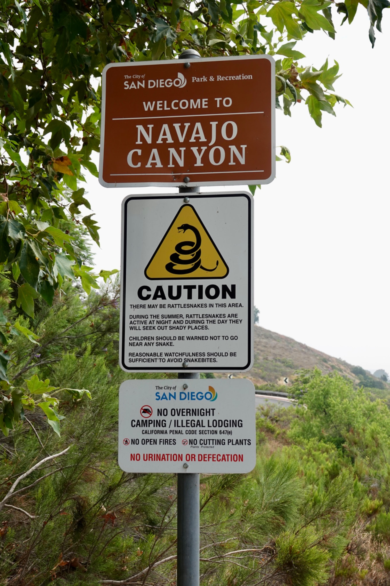
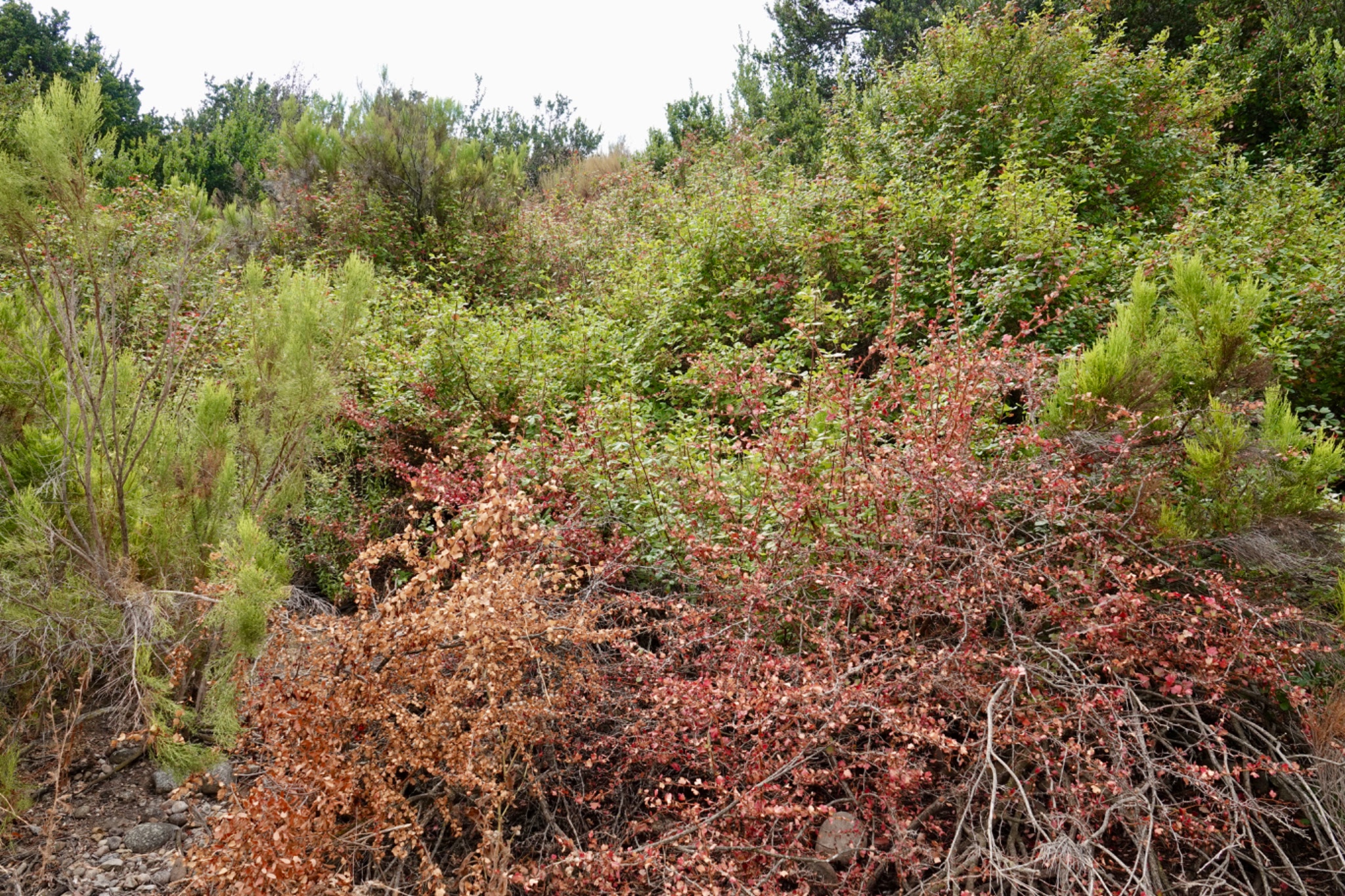
I'm surprised it did not provide a warning about poison oak, which is identifiable by the reddish-green leaves on the hillside here.
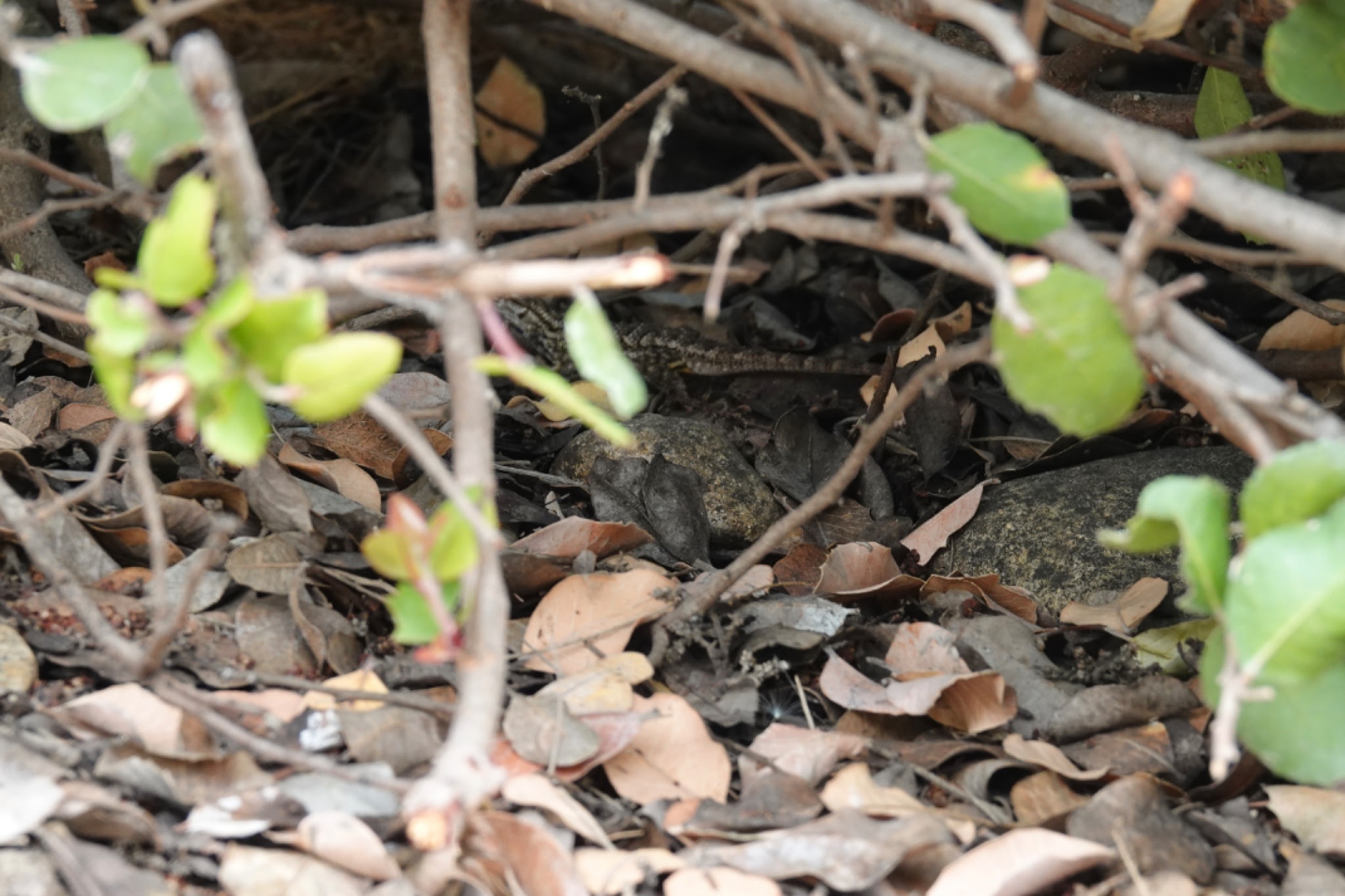
Or the clever, fast and no doubt dangerous lizards lurking everywhere.
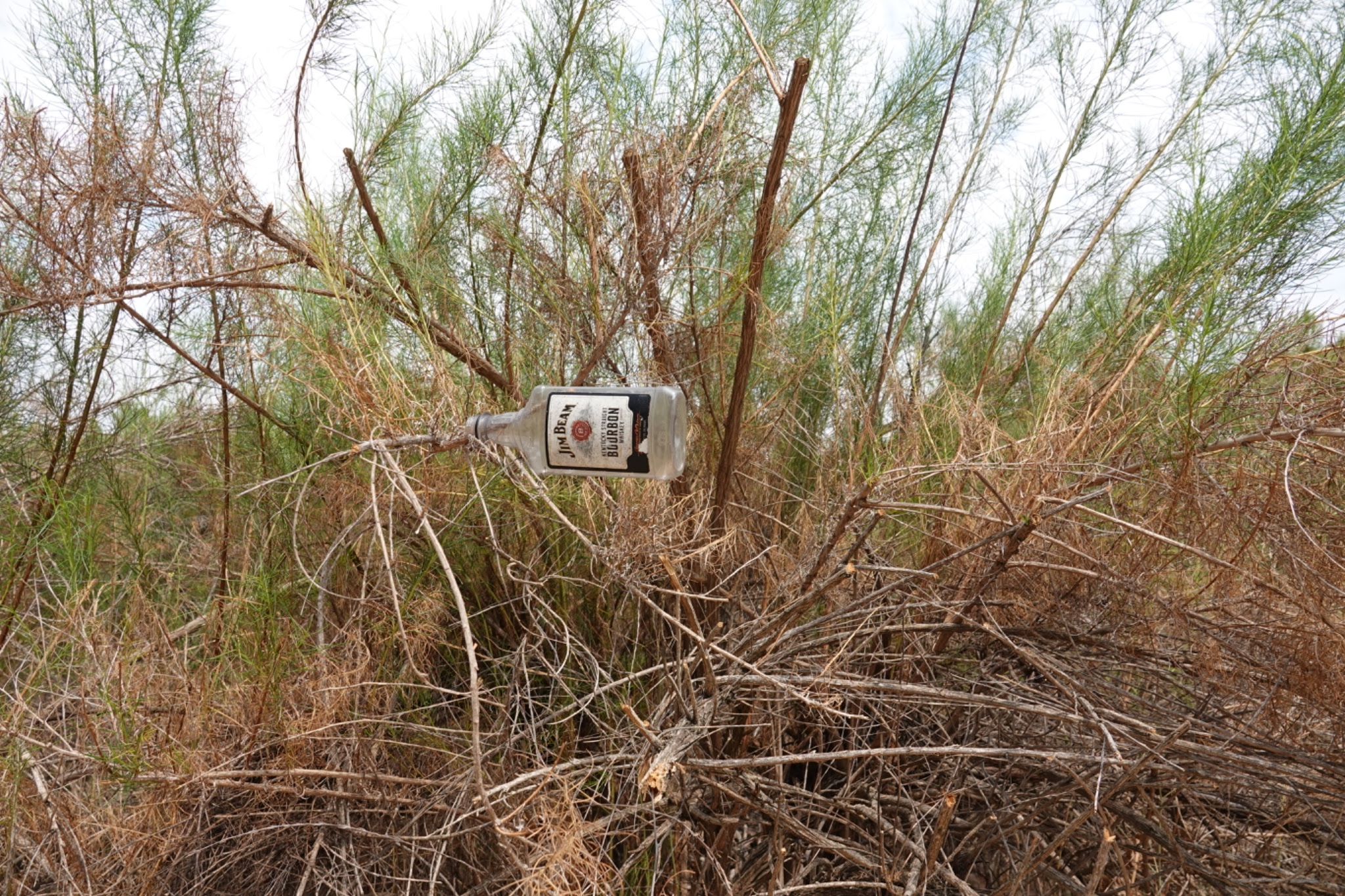
Or flying Jim Beam Bourbon bottles
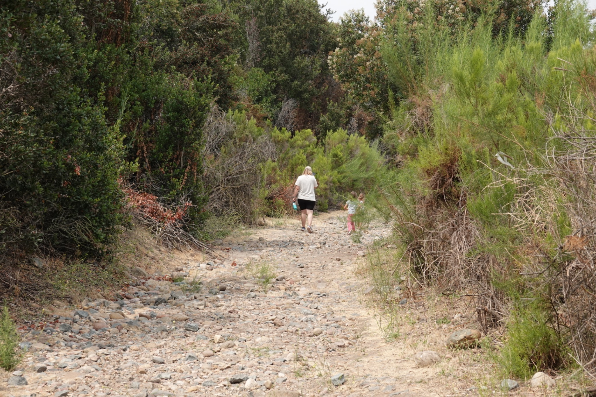
We walked up the trail a bit until we came upon these three ladies, then turned back and down.
Here's the hillside to the North.

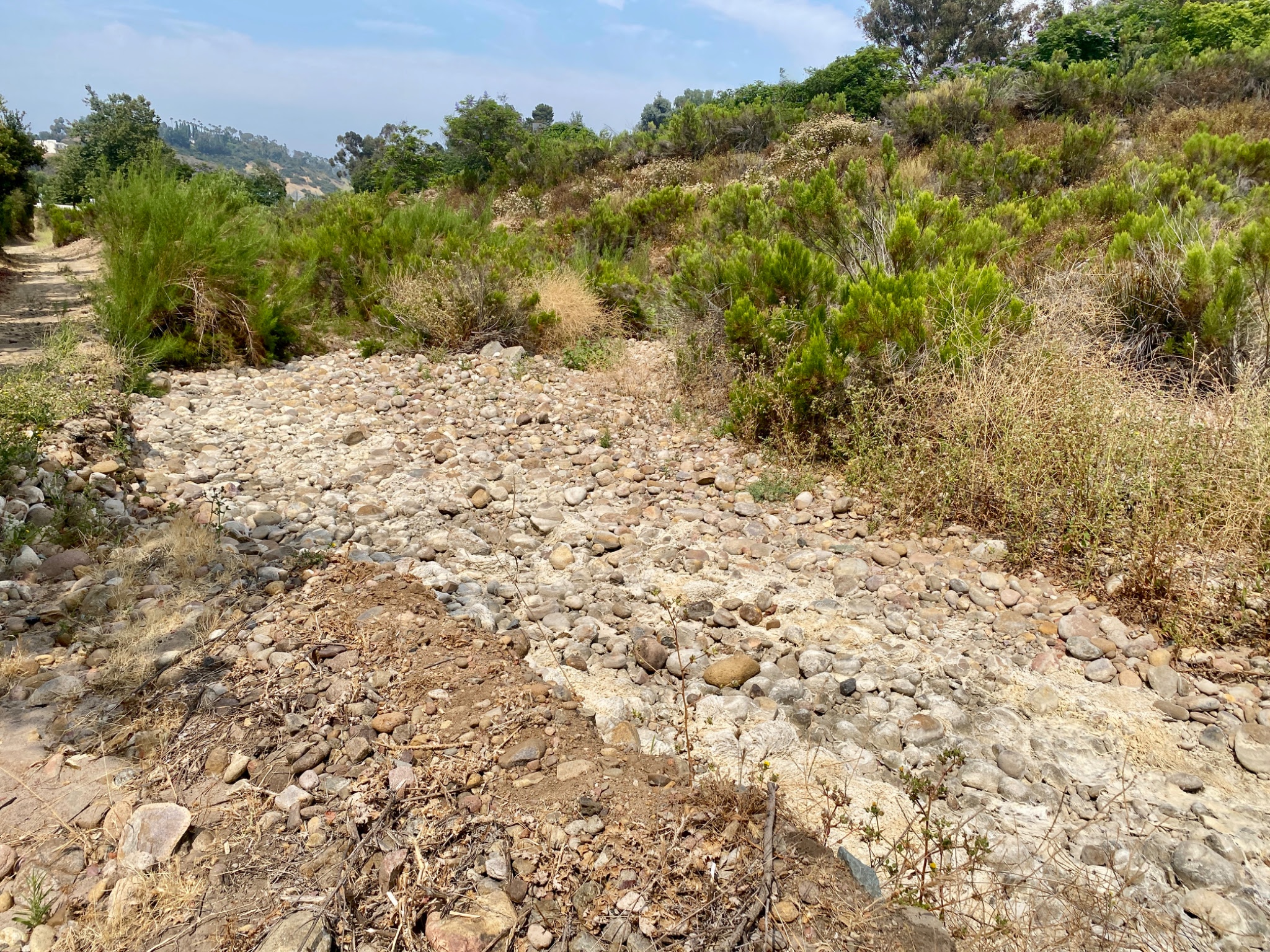
Hillside to the South is very steep. It almost caused me to sprain my neck, not to mention my ankle as I took the photo with my head cocked back.
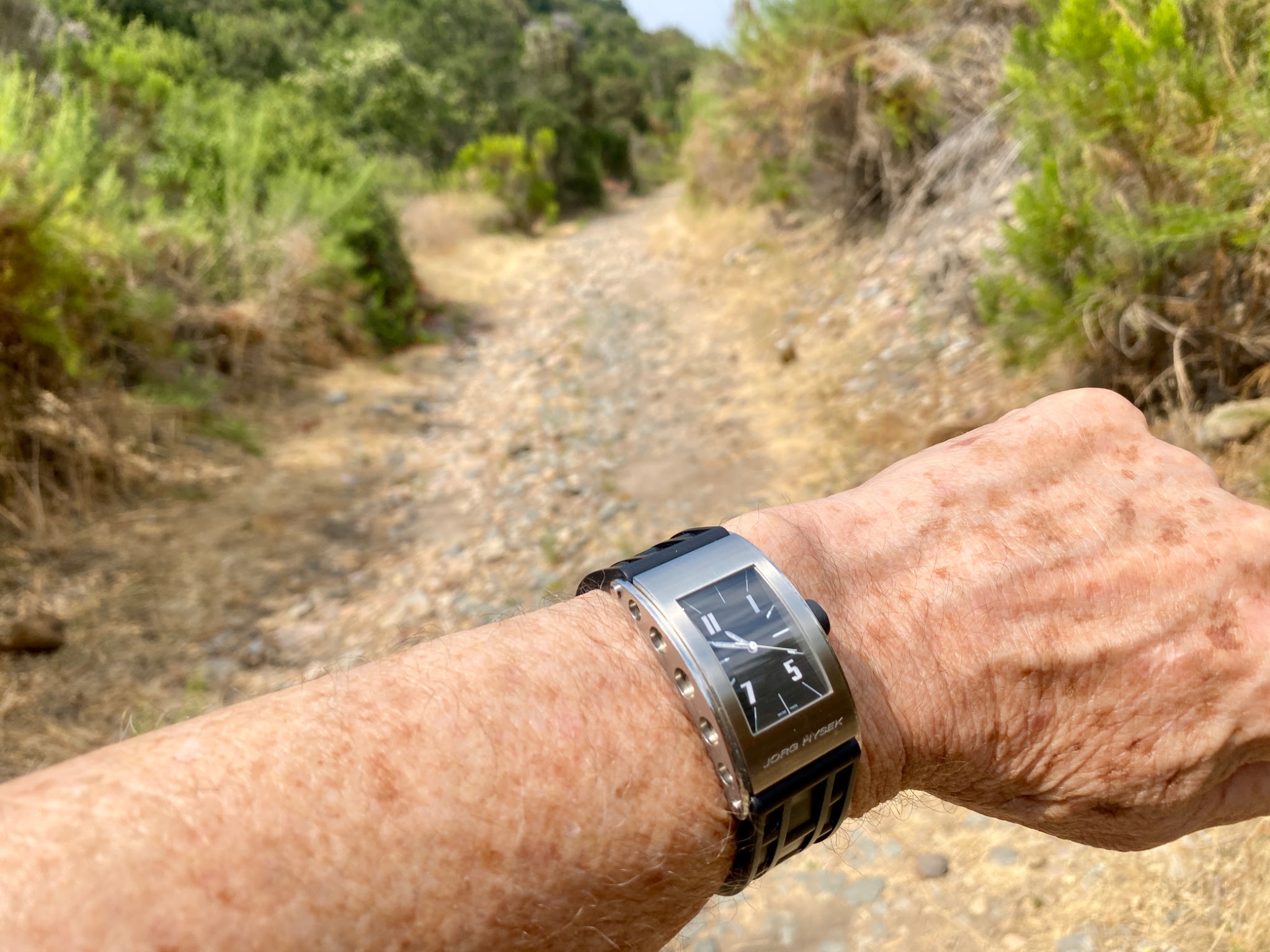
Almost 11 am and it was very hot already. We had water in the car but didn't think to carry it with us. I'm wearing the automatic Jorg Hysek watch today.
I wasn't anxious to sprain or break my ankle on the rocky path/stream bed, so we went back to the car and headed for another trailhead.
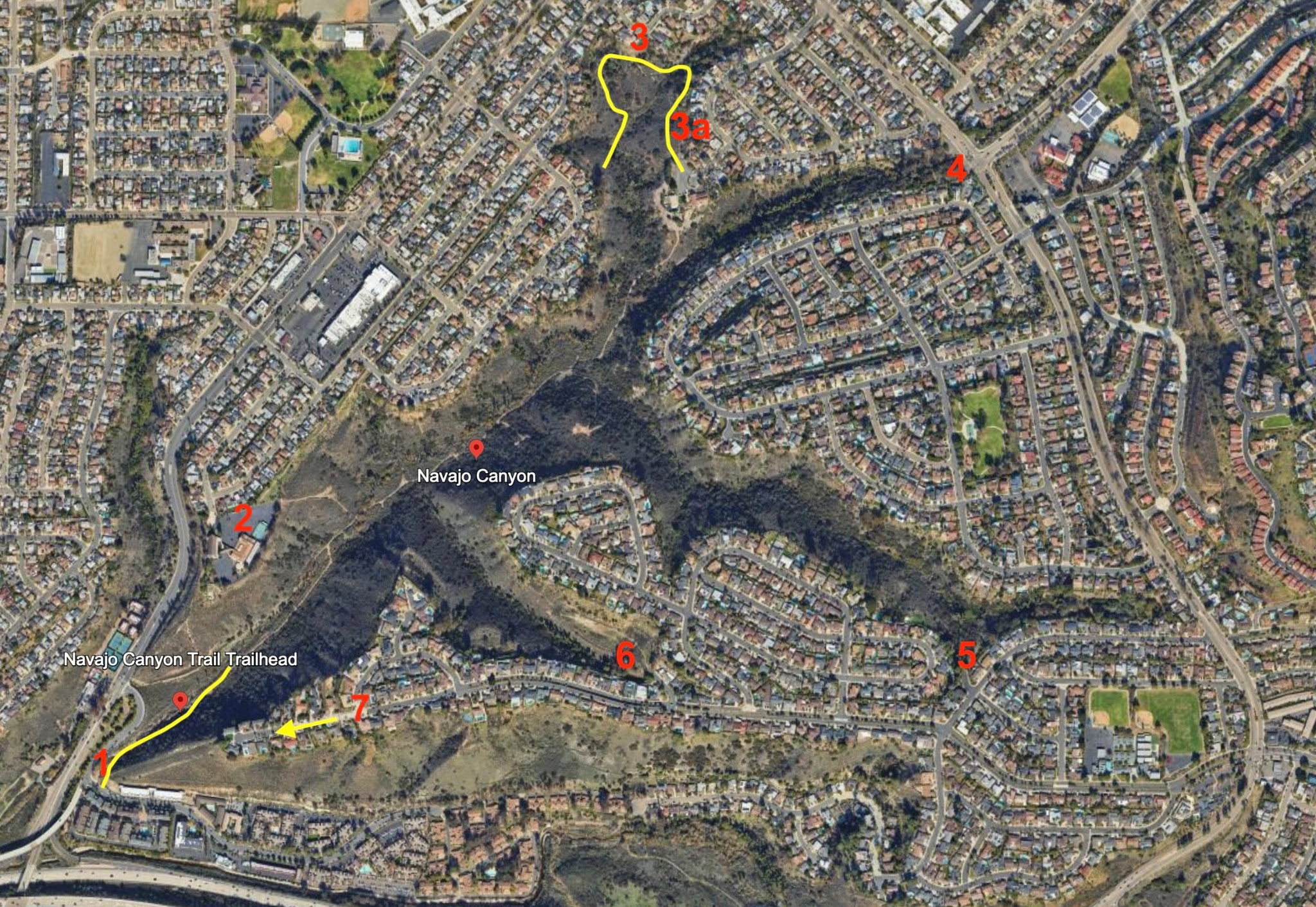
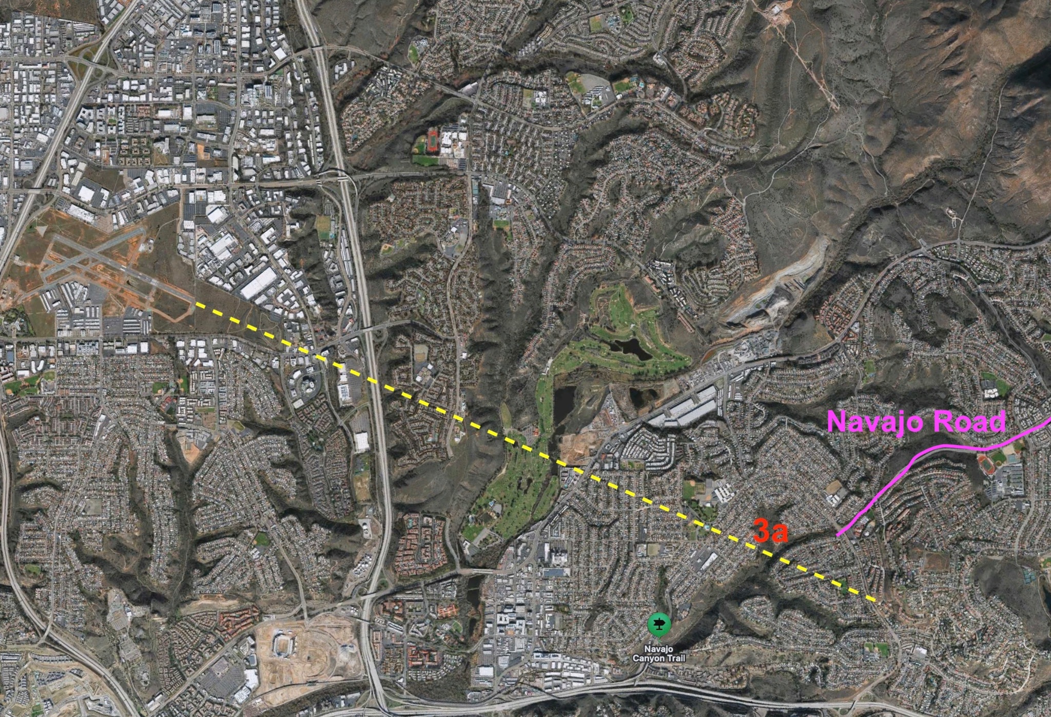
We drove to point 2 on the map, a church parking lot, but there were two police cars sitting there in the shade, officers having a conversation (or perhaps a donut or two). We decided to go a bit further and aimed for point 3. We couldn't get there because the street was being repaved! Winding around a bit more, we came to 3a, another small church, with parking lot, shade and easy trail access. We got out here.
NOTE: numbers 1-6 indicate trail access. Number 7 ... well you will have to wait and see.
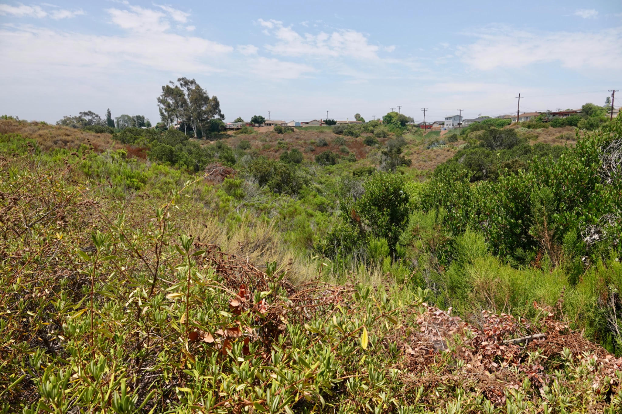
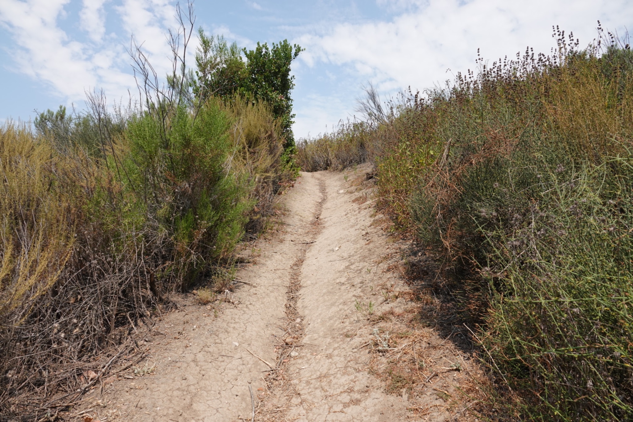
Here we are, walking again. No details of what we can and shouldn't be doing. A better neighborhood, perhaps?

Notice the height of the century plant blooms! The spiky leaves at the bottom are about 6-7 feet.

The area in this canyon is about 140 acres. The city is beginning a non-native palm tree removal program to get about 600 trees lifted out by helicopter.
This mother hawk isn't sure she likes the idea. She was crying constantly as we explored this end of the canyon.
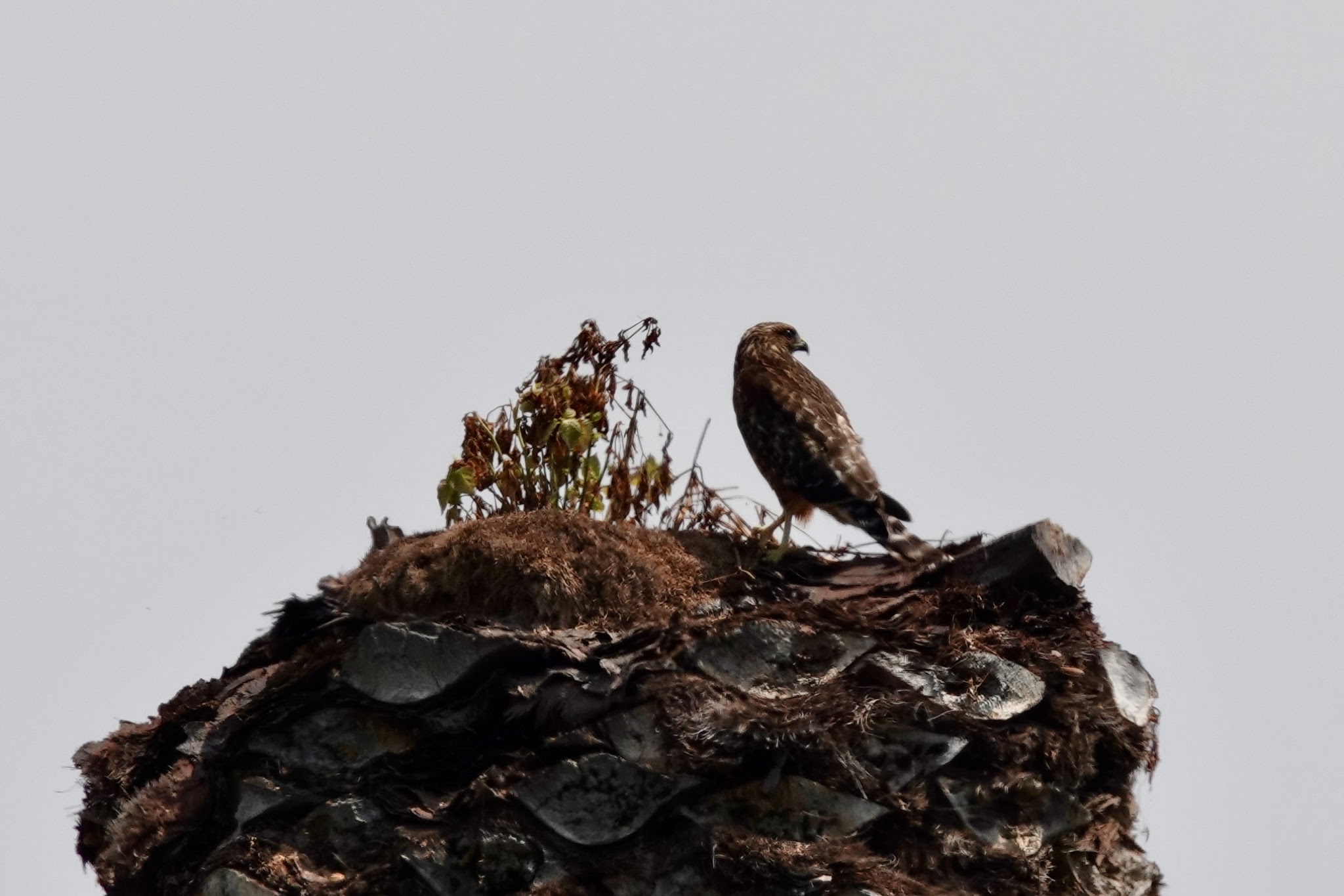
Far below her, near a muddy little creek,

we encountered a group of dragonflies. I saw orange, gold
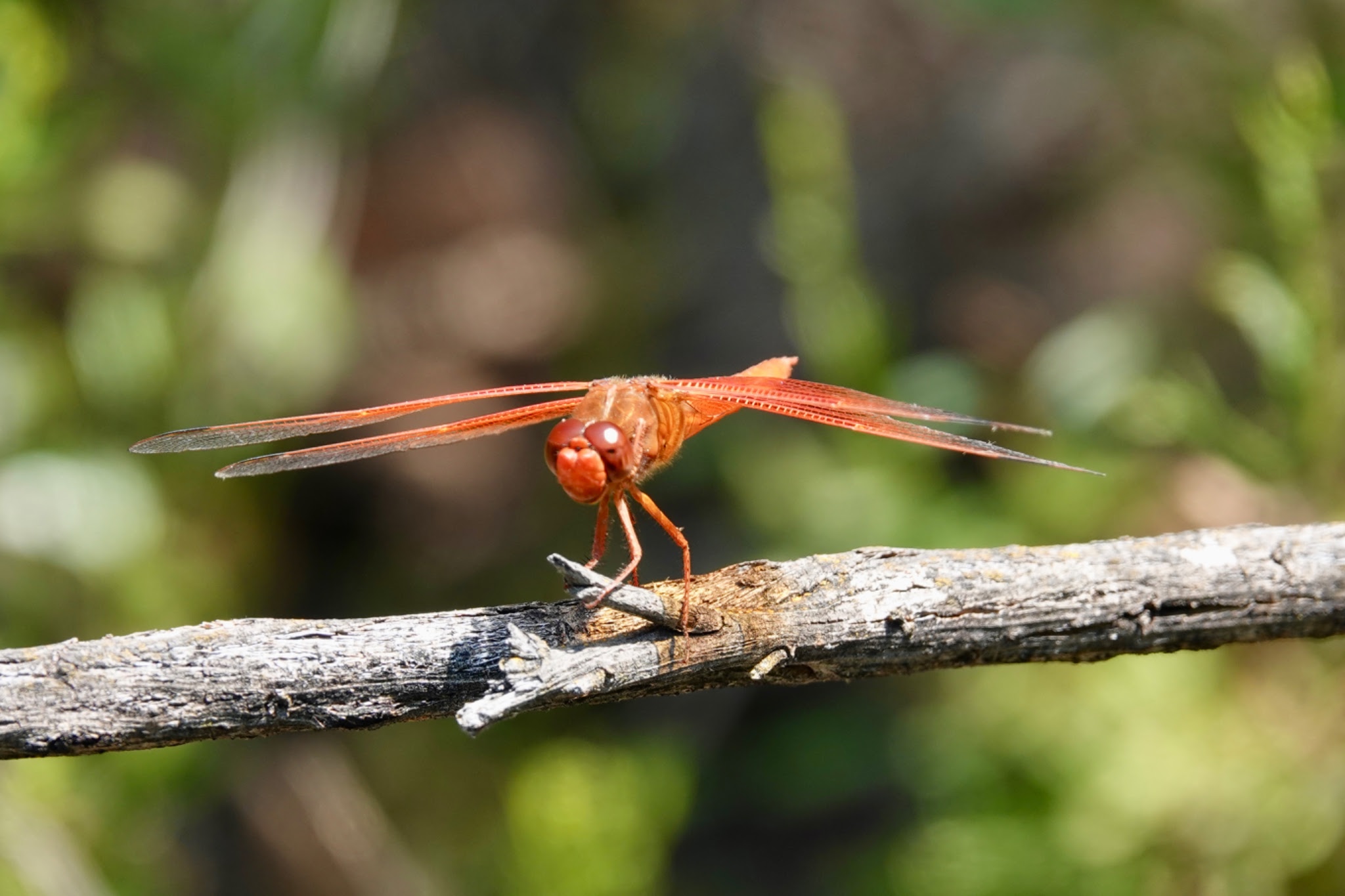
and blue.

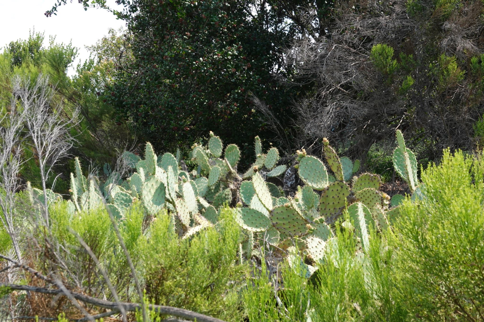
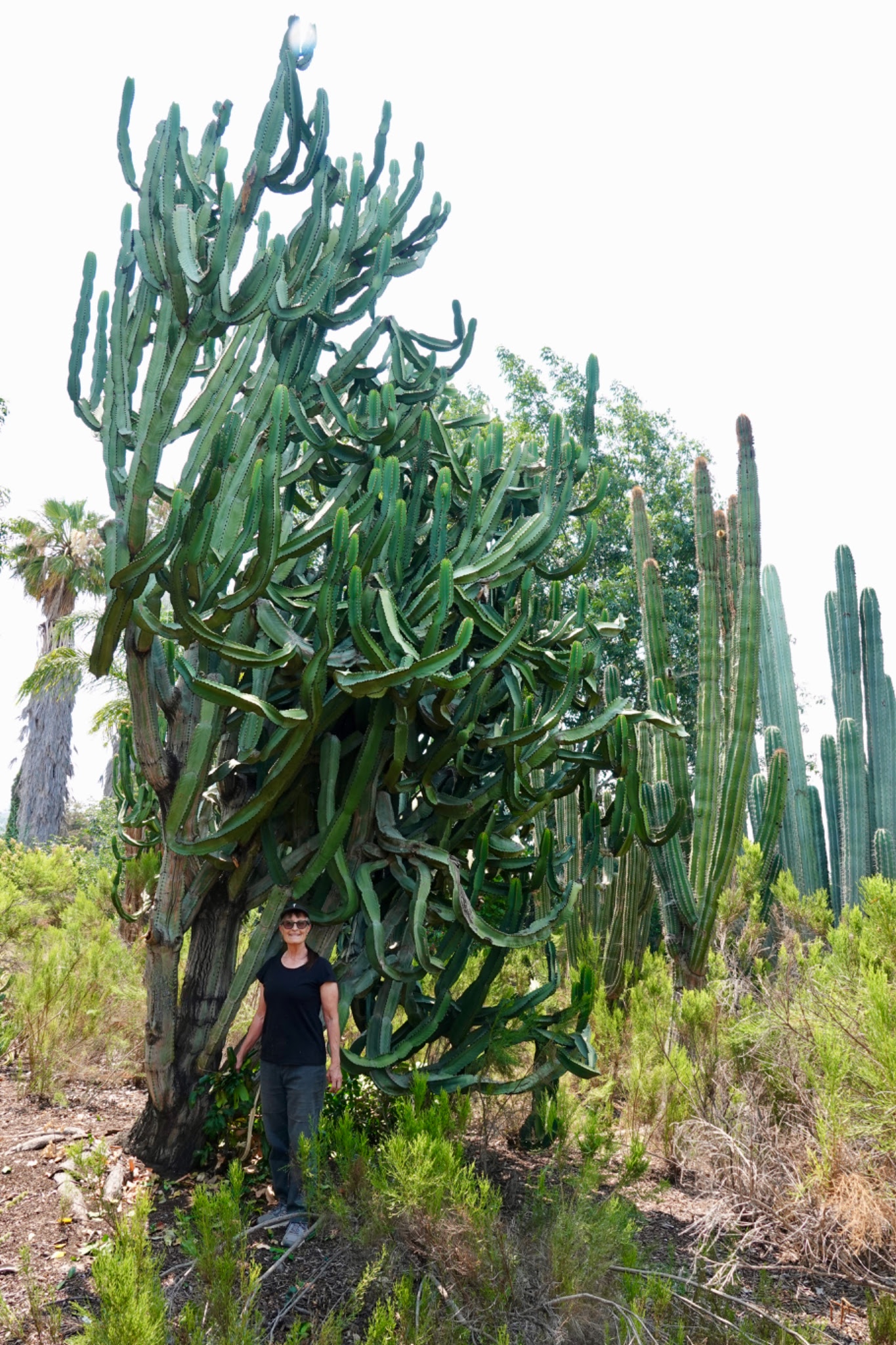
Let me just say the cactus is thriving, and this sign is completely wasted here! Keep out? Are they kidding? Of course anyone would stay clear.
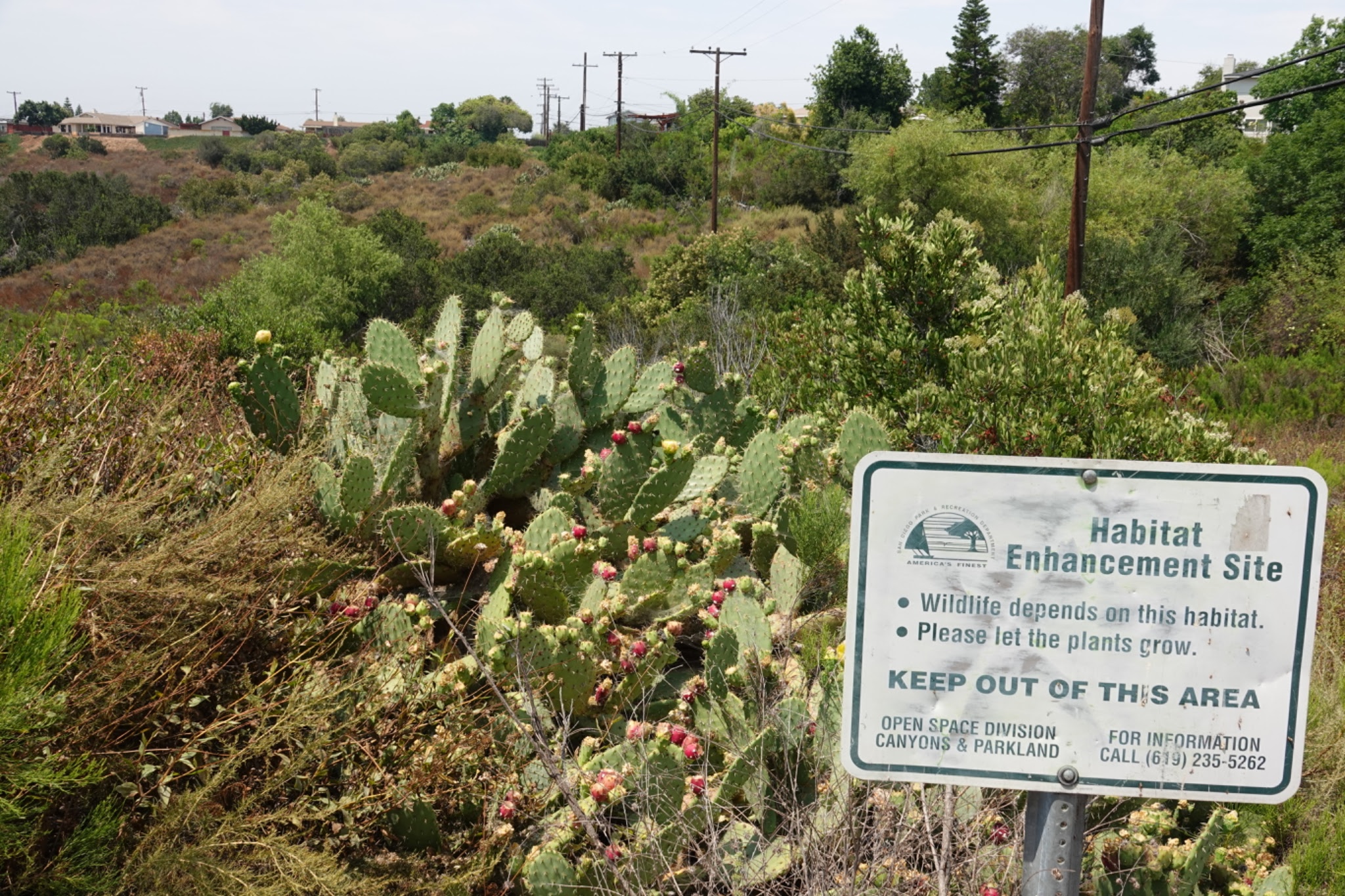
It's like a cactus rain forest - stalks are reaching to the skies.

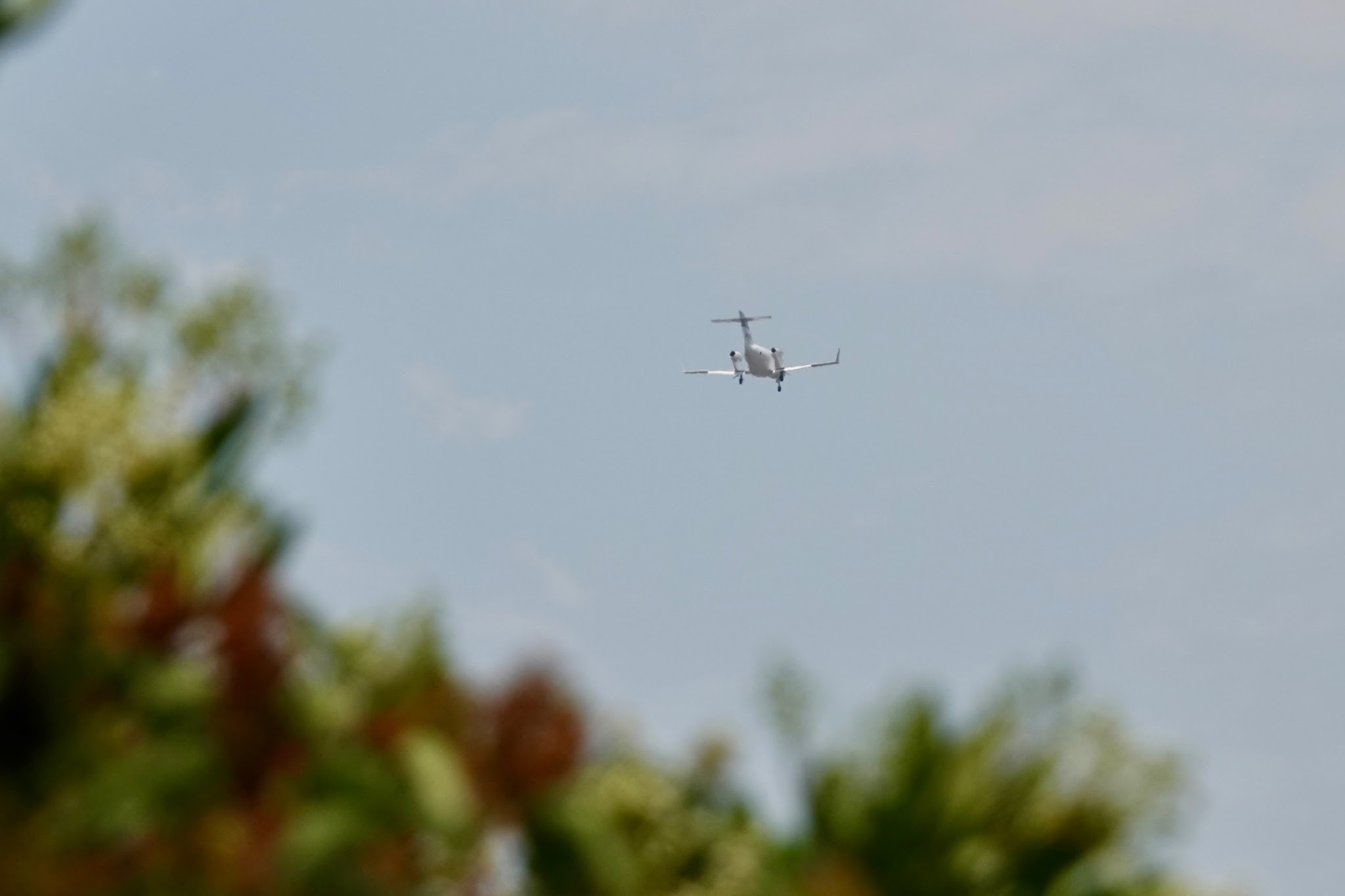
A suspiciously frequent droning overhead alerted me to the fact that we are under the landing pattern for runway 28R
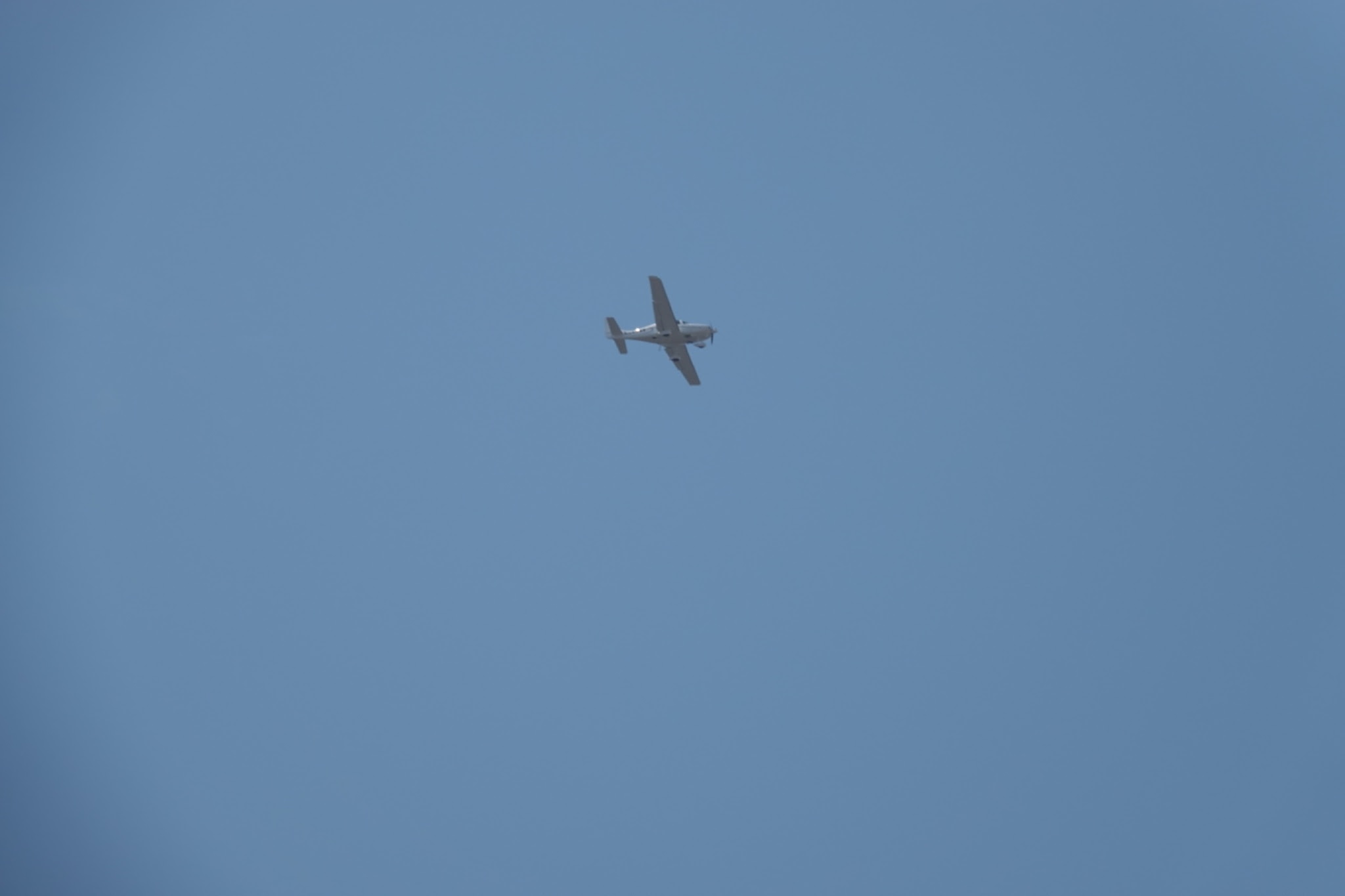
on San Diego's Montgomery-Gibbs Field, General Aviation Airport.
Small jets are welcome too.
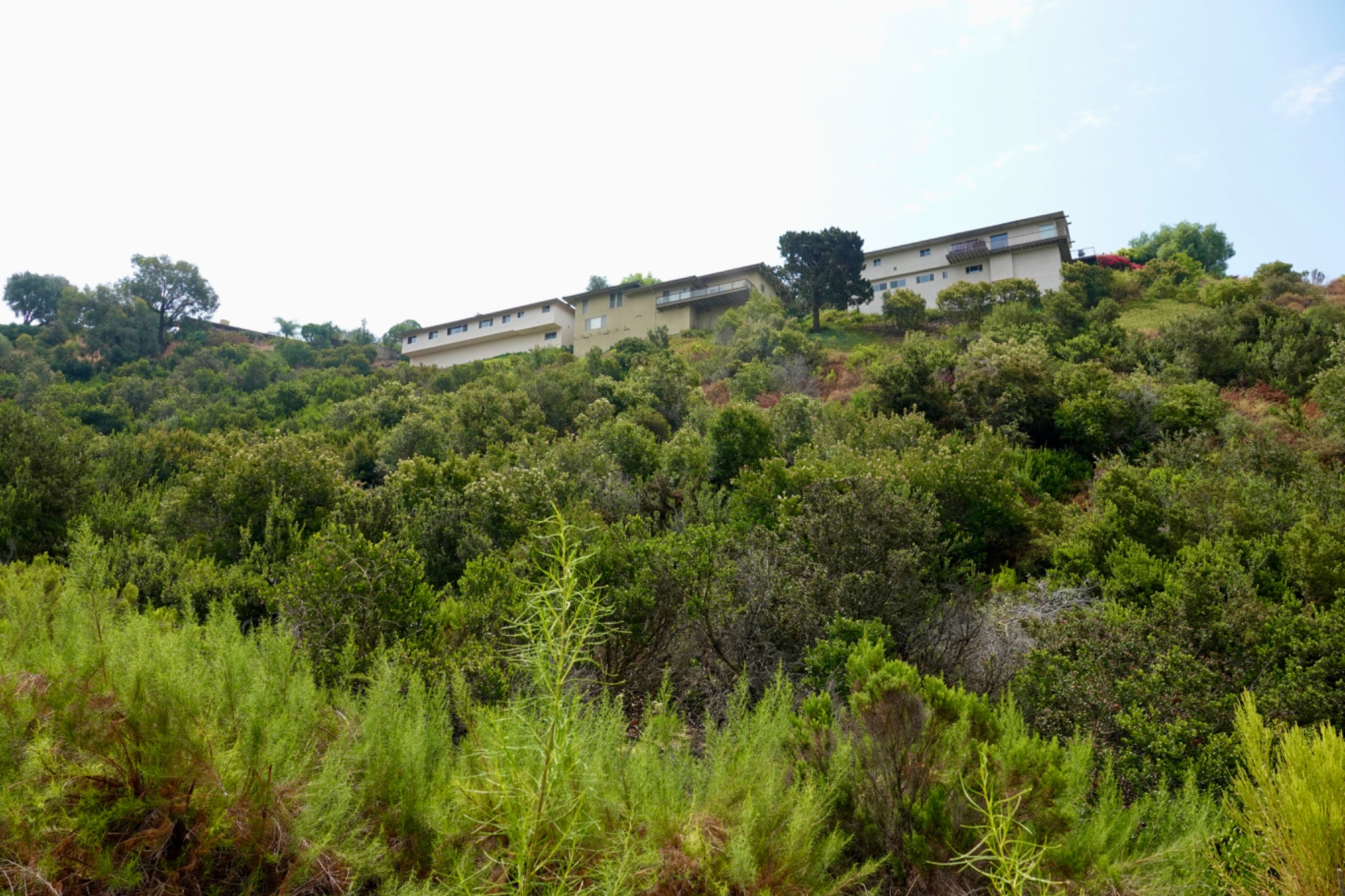
It kept getting hotter and we were getting hungry, so we called it a day and returned to the car. We made one more stop to see how those big houses on the hill looked from the street. They looked very nice!
and blue.
Let me just say the cactus is thriving, and this sign is completely wasted here! Keep out? Are they kidding? Of course anyone would stay clear.
It's like a cactus rain forest - stalks are reaching to the skies.
A suspiciously frequent droning overhead alerted me to the fact that we are under the landing pattern for runway 28R
on San Diego's Montgomery-Gibbs Field, General Aviation Airport.
Small jets are welcome too.
It kept getting hotter and we were getting hungry, so we called it a day and returned to the car. We made one more stop to see how those big houses on the hill looked from the street. They looked very nice!

The neighborhood is called Del Cerro and was built in the 1960's when I was in school - it was the up-and-coming neighborhood at our end of San Diego. But we didn't move there, we moved to the Seattle area instead, so I learned about rain forests instead of mid-century modern homes.

View West to the ocean from the (dead) end of Del Cerro Blvd, map location #7. Navajo canyon is out of sight to the right.

Cazalea
Dangers of Looking Up
We walked today down in Navajo Canyon, an area across town, where neither of us had ever explored. We did find the city's sign a bit more detailed than we expected: I'm surprised it did not provide a warning about poison oak, which is identifiable by the ...

The canyon at its shallow east end is the route followed by Navajo Road
No Navajo (people) lived there


Holy cacti!! :))
And that orange dragonfly is beautiful .... OG SoCal scenery. Cheers, Filip

